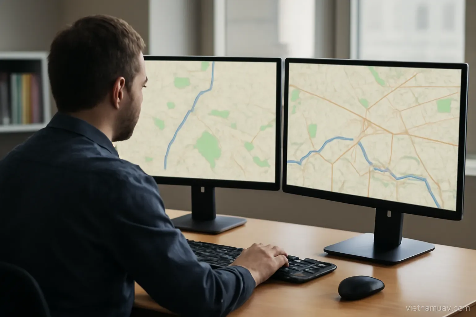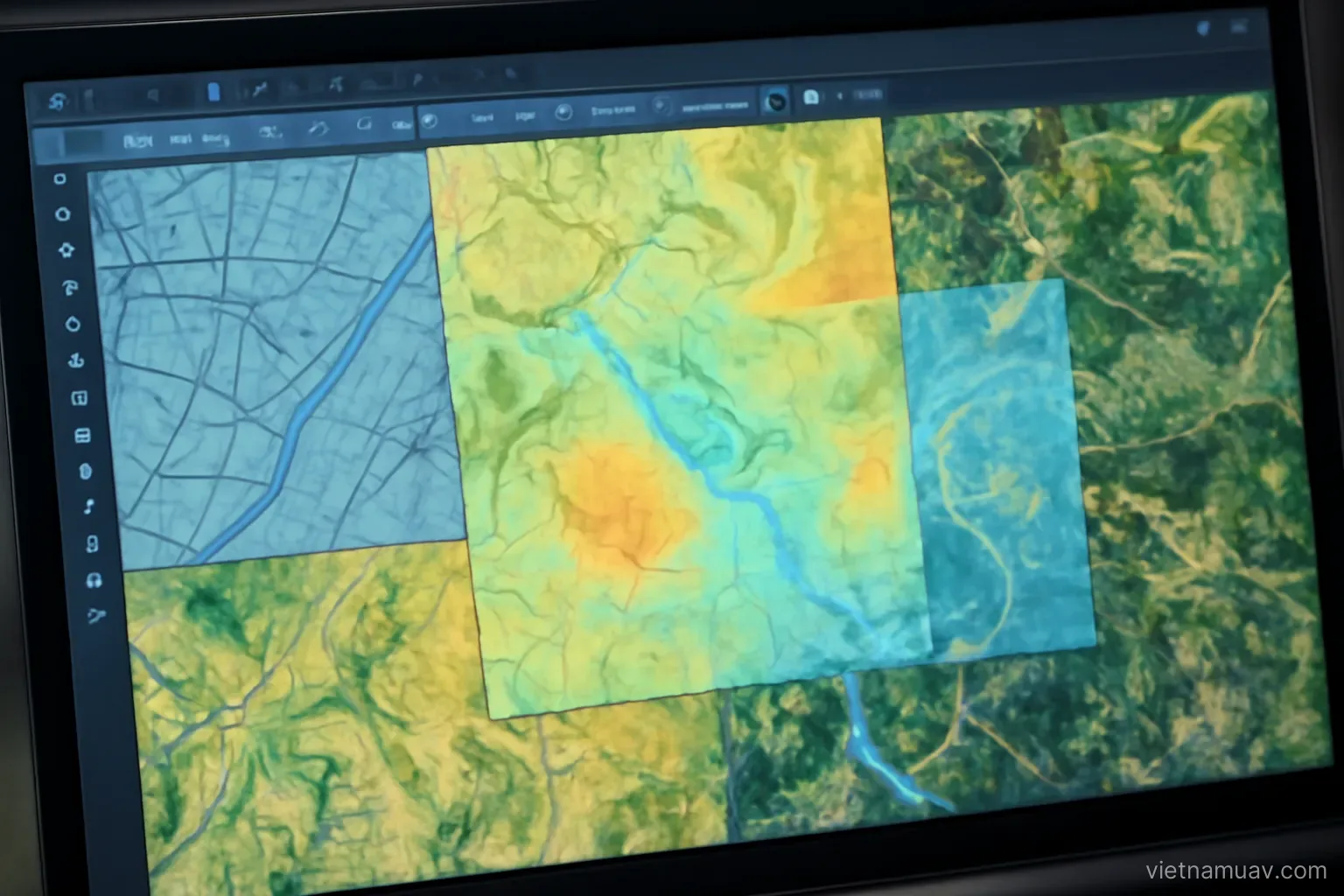
A drone map on its own is useful. Overlaid on planning documents, compared with satellite imagery from a decade ago, and combined with ground measurement, it becomes considerably more valuable.
Coordinate systems
The precondition. Every layer must share a coordinate system, or be convertible accurately between systems.
Global systems. Used by satellite positioning, expressed in latitude and longitude.
Projected systems. Flattened onto a plane so distances and areas can be measured conveniently.
National systems. Vietnam has its own system for official mapping. Data delivered to public bodies generally has to be in it.
Transformation parameters. Converting between systems requires the correct parameters. Wrong parameters produce offsets of tens or hundreds of metres.
The most common error in the field. And hard to spot, because the map looks perfectly normal — it is simply offset from everything else.
Verify against a known point. Overlay on a feature with published coordinates and check alignment.
State the system explicitly. In the file and in the documentation. Data without a stated system is difficult to use.
Confirm the client's system before starting. Reprojecting after delivery wastes time and introduces avoidable risk.
Combining with satellite data
Satellite strengths. Wide coverage, a historical archive going back years, and some sources are free.
Drone strengths. Far higher resolution, captured on demand, independent of satellite revisit schedules.
The natural combination. Satellite for context and history, drone for detail in the area of interest.
Change detection workflow. Satellite identifies areas that have changed, drone surveys those areas in detail.
Historical comparison. Archive satellite imagery shows conditions years ago against current drone data.
Positional accuracy caution. Free satellite imagery carries significant positional error. Do not use it as a reference to align drone data.
Check acquisition dates. Imagery in mapping services may be several years old. Verify the date before comparing.
Spectral combination. Satellite multispectral for wide context and drone multispectral for detail. Comparable if the index definitions match.
Resolution mismatch matters. Conclusions drawn at coarse satellite resolution should not be presented as though verified at drone resolution.
Combining with ground survey
The complementary roles. Ground survey gives high accuracy at specific points; drone gives broad coverage at lower accuracy.
Ground control. The most basic form of this combination.
Filling what the drone cannot see. Beneath canopy, indoors, underwater. Ground measurement covers the gaps.
Verification. Measuring points to confirm the accuracy of the drone product.
Combined deliverables. A terrain model from drone data supplemented with ground points in obscured areas.
Beware the join. The two sources have different accuracy. Merging without treatment produces a step at the boundary.
Terrestrial scanning. Very high detail over a small area. Combining it with drone coverage is a common approach for structures.
Record the source of each part. In the deliverable and the report. Users need to know which portions are more reliable.
Agree the hierarchy in advance. Which source takes precedence where they disagree, decided before processing rather than during it.
Overlaying information layers
Planning documents. Overlaid on current condition. Divergence becomes immediately visible.
Parcel boundaries. Comparing records with what is actually on the ground.
Design drawings. Against as-built condition.
Buried services. Pipes and cables, overlaid on the surface so excavation avoids them.
Statistical data. Population, production, by area.
Ground sensor data. Weather stations, soil moisture, water level.
The common difficulty. Legacy data that does not match current conditions. Deciding which source is authoritative is a judgement, not a calculation.
Why overlay matters. The answer exists in no single layer. This is where a service moves from supplying data to supplying information.
Document what each layer is. Source, date and accuracy, so a conclusion can be traced back to what supported it.
Good practice
Fix the project coordinate system at the outset. Convert everything into it.
Record source and date per layer. Data of unknown provenance should not support an important decision.
Record accuracy per layer. A conclusion cannot be more accurate than the weakest layer supporting it.
Check alignment on common features. Building corners, junctions, monuments. Present in multiple layers, so they reveal misalignment.
Be cautious with small differences. They may simply be the error of the less accurate layer.
Organise the project properly. Relative paths so it does not break when moved between machines.
Deliver source data where agreed. Clients often want to extend the analysis themselves.
Document the transformations applied. Which conversions, which parameters. A result that cannot be reproduced cannot be defended.
Keep the unmerged originals. Once layers are combined, separating them again is rarely possible without the source files.
Frequently asked questions
What is the most common error when integrating datasets?
Using wrong transformation parameters between coordinate systems, producing offsets of tens or hundreds of metres. It is hard to spot because the map itself looks normal.
Can free satellite imagery be used to align drone data?
No. It carries significant positional error and may be several years old, so it should not serve as a positional reference.
What problem arises when merging drone and ground survey data?
The two sources have different accuracy, so merging without treatment produces a visible step at the boundary between them.
What limits the accuracy of a conclusion drawn from several layers?
The weakest layer supporting it. That is why source, date and accuracy must be recorded for every layer used.
More in Flight planning and Operations and safety.