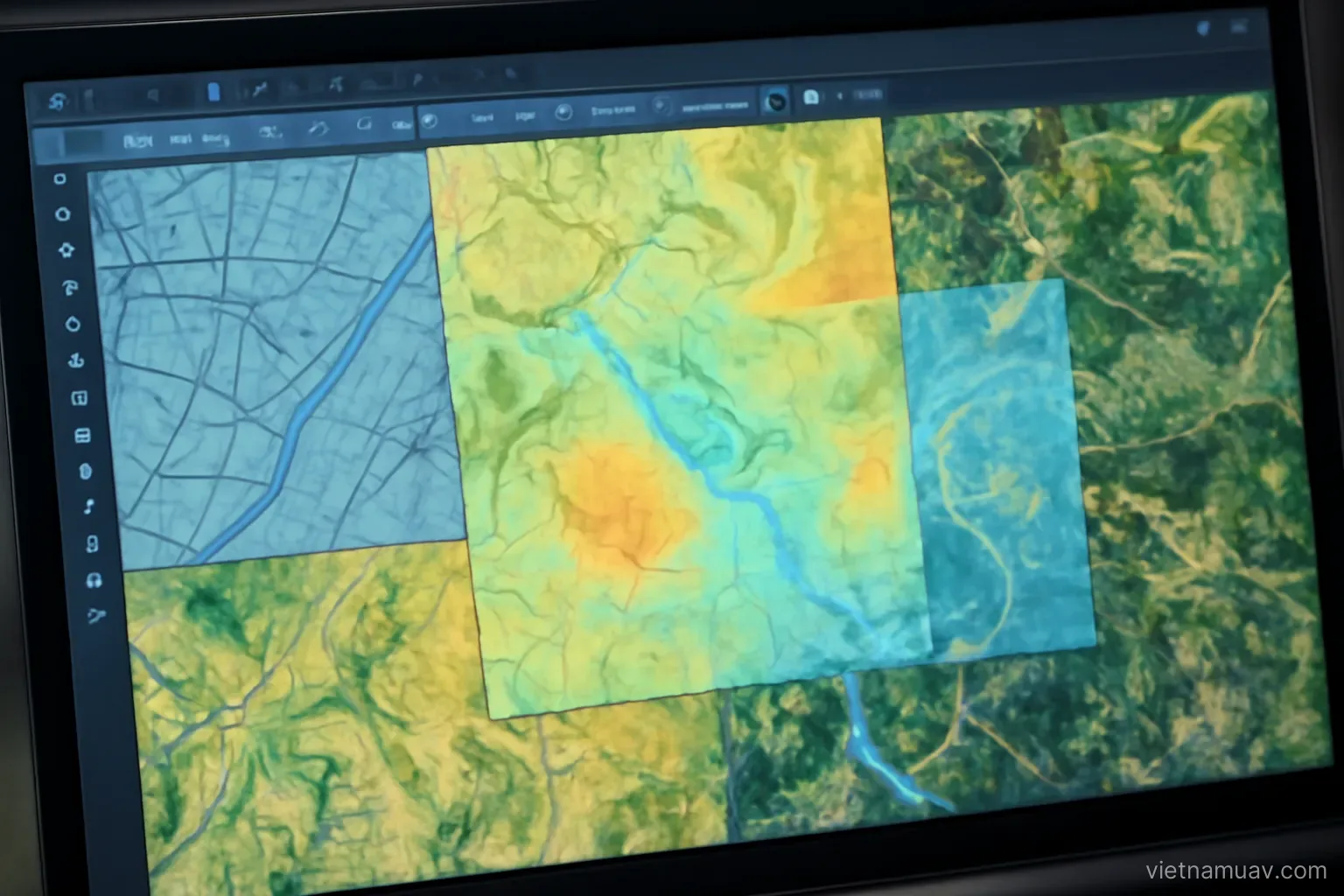
 Flight data processing
Integrating UAV data with other sources
Drone data is worth more combined with existing mapping, satellite imagery and ground measurement.
Flight data processing
Drone data is worth more combined with existing mapping, satellite imagery and ground measurement.
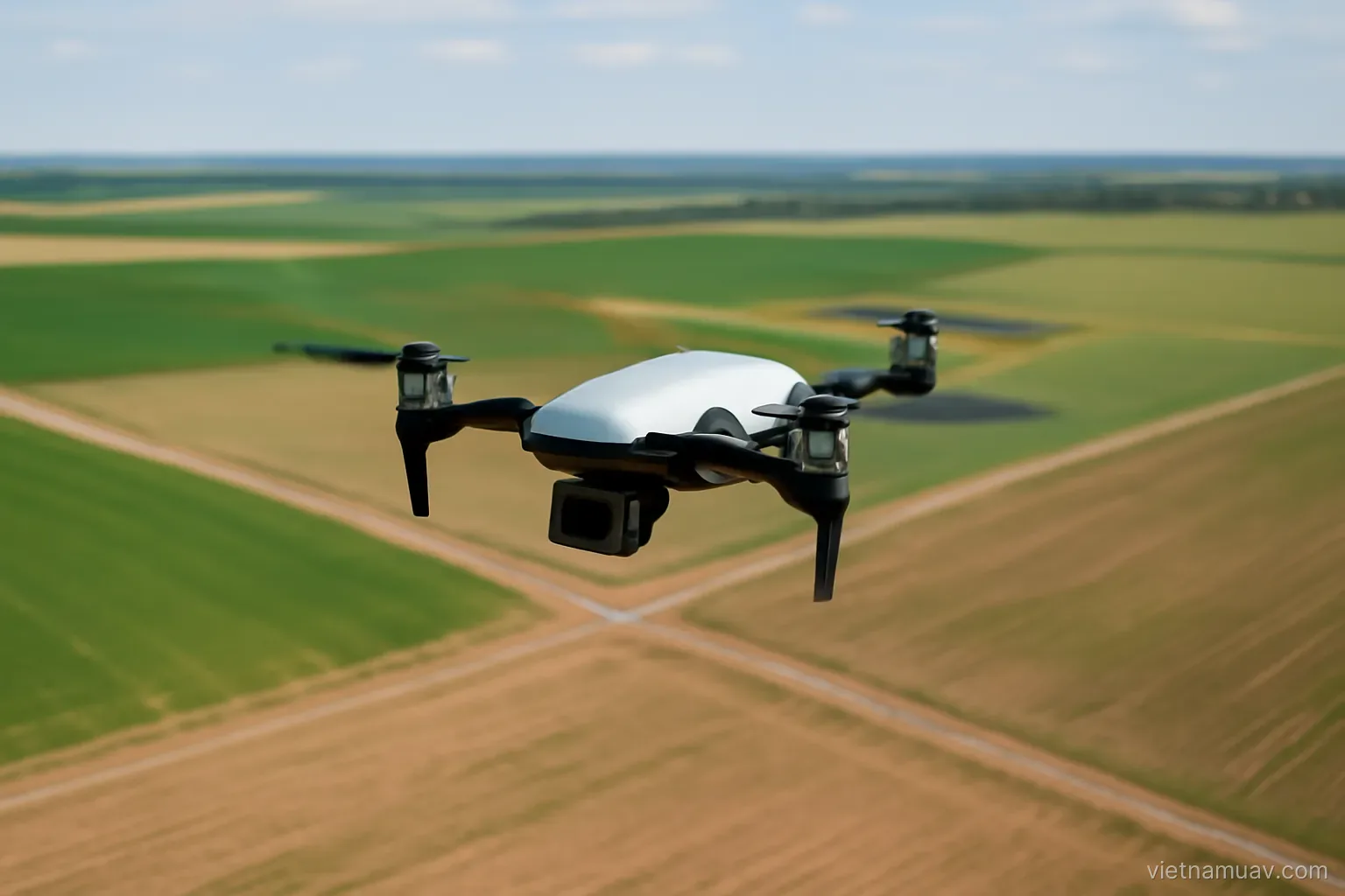 Survey and mapping
Ground sample distance, overlap and control points decide whether the map is usable. Everything else is detail.