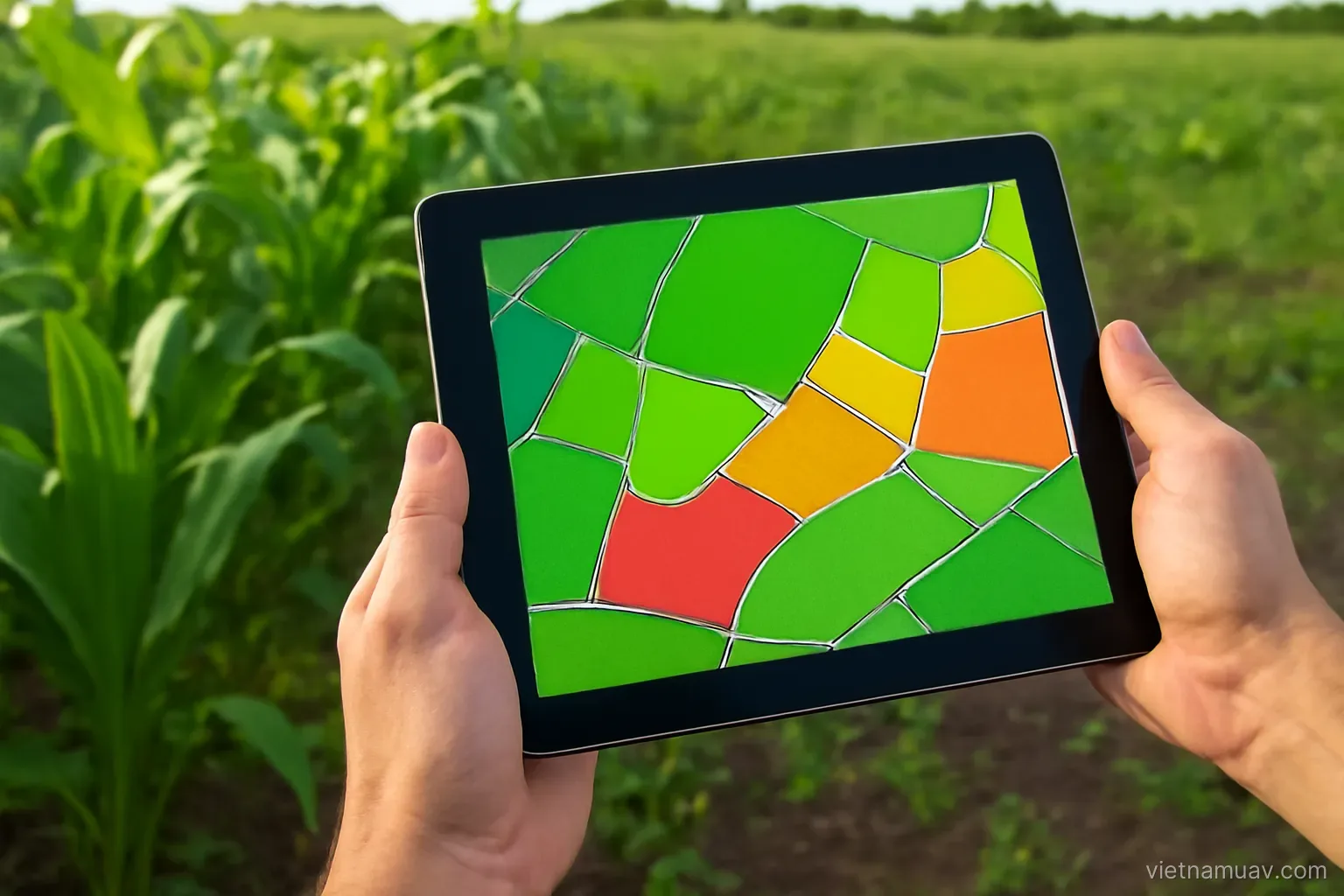
 Agricultural UAV
Combining survey and treatment
Fly to find out where the problem is, then treat only there. The loop that makes precision agriculture real.
Agricultural UAV
Fly to find out where the problem is, then treat only there. The loop that makes precision agriculture real.
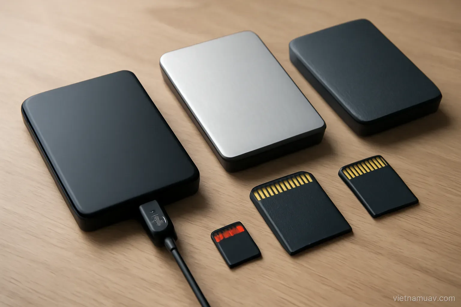 Flight data processing
Data accumulates fast. Structure imposed at the start costs far less than structure imposed later.
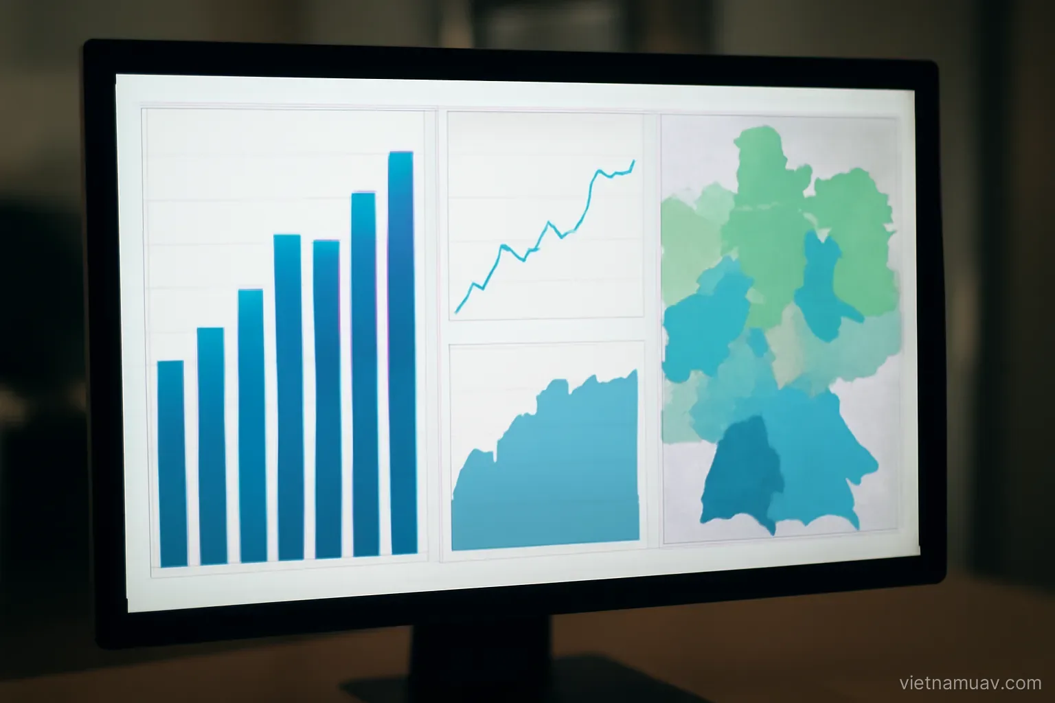 Flight data processing
Maps are raw material. The value is in the measurements and conclusions the client actually acts on.
 Flight data processing
What software you need, how to choose it, and the hardware realities that determine throughput.
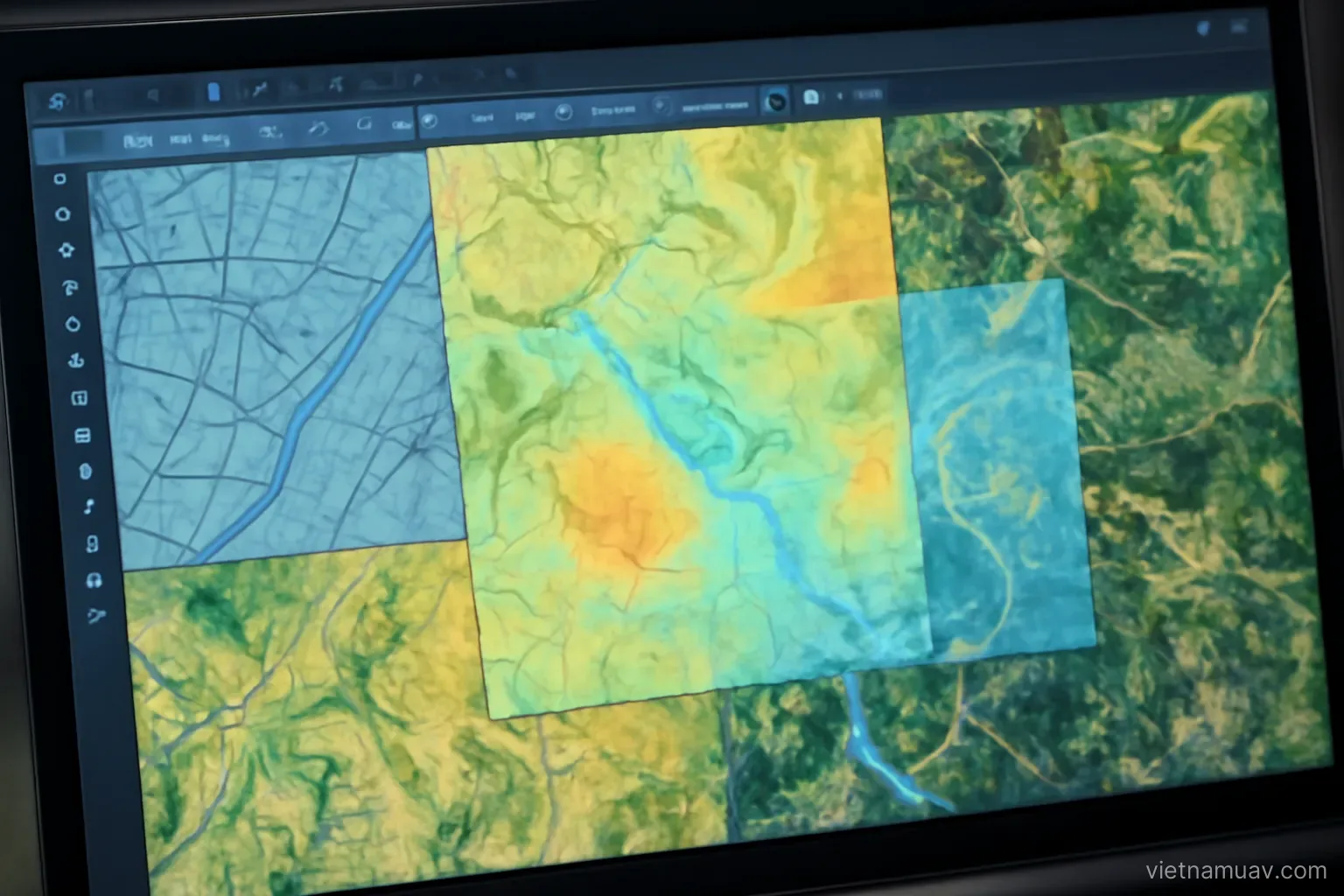 Flight data processing
Drone data is worth more combined with existing mapping, satellite imagery and ground measurement.
 Flight planning
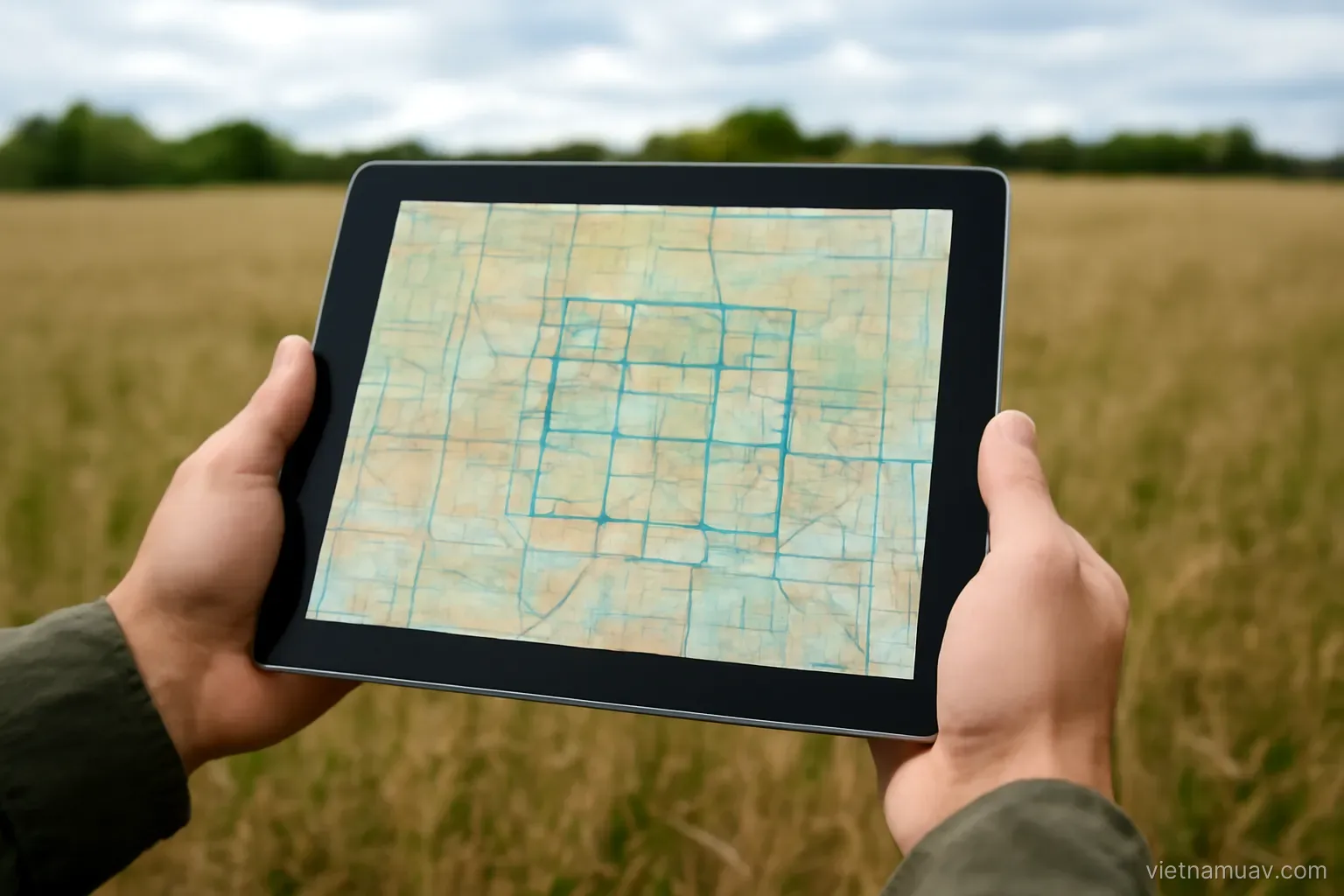
Working back from the deliverable to the flight lines, and the calculations that are easy to get wrong.
 Sensors and payloads
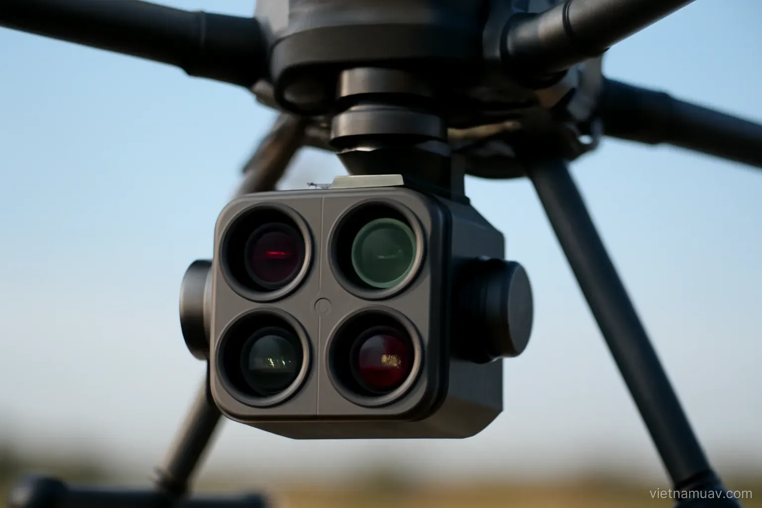
Capturing outside the visible range to measure what the eye cannot see, and doing it rigorously.
 Survey and mapping
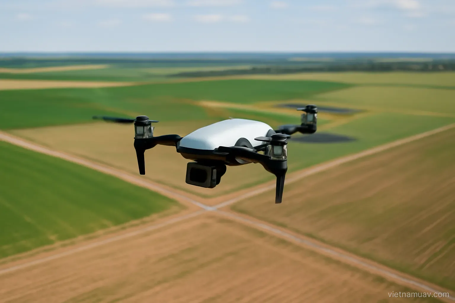
Ground sample distance, overlap and control points decide whether the map is usable. Everything else is detail.