Weather decides whether you fly, and if you do, it decides how good the data is. Reading a forecast properly saves a great many wasted journeys.
Wind
Speed against the aircraft's limit. Remembering that wind aloft exceeds wind at the surface.
Gusts matter more than mean speed. The aircraft cannot compensate quickly enough for rapid changes.
Direction. Affects both flight line design and battery calculation.
Daily pattern. Mornings are typically calmest in Vietnam, with wind building through the afternoon.
Coastal effects. Sea and land breezes reverse direction on a daily cycle near the coast.
Terrain-generated wind. Valleys, ridges and slopes produce local flows that no regional forecast captures.
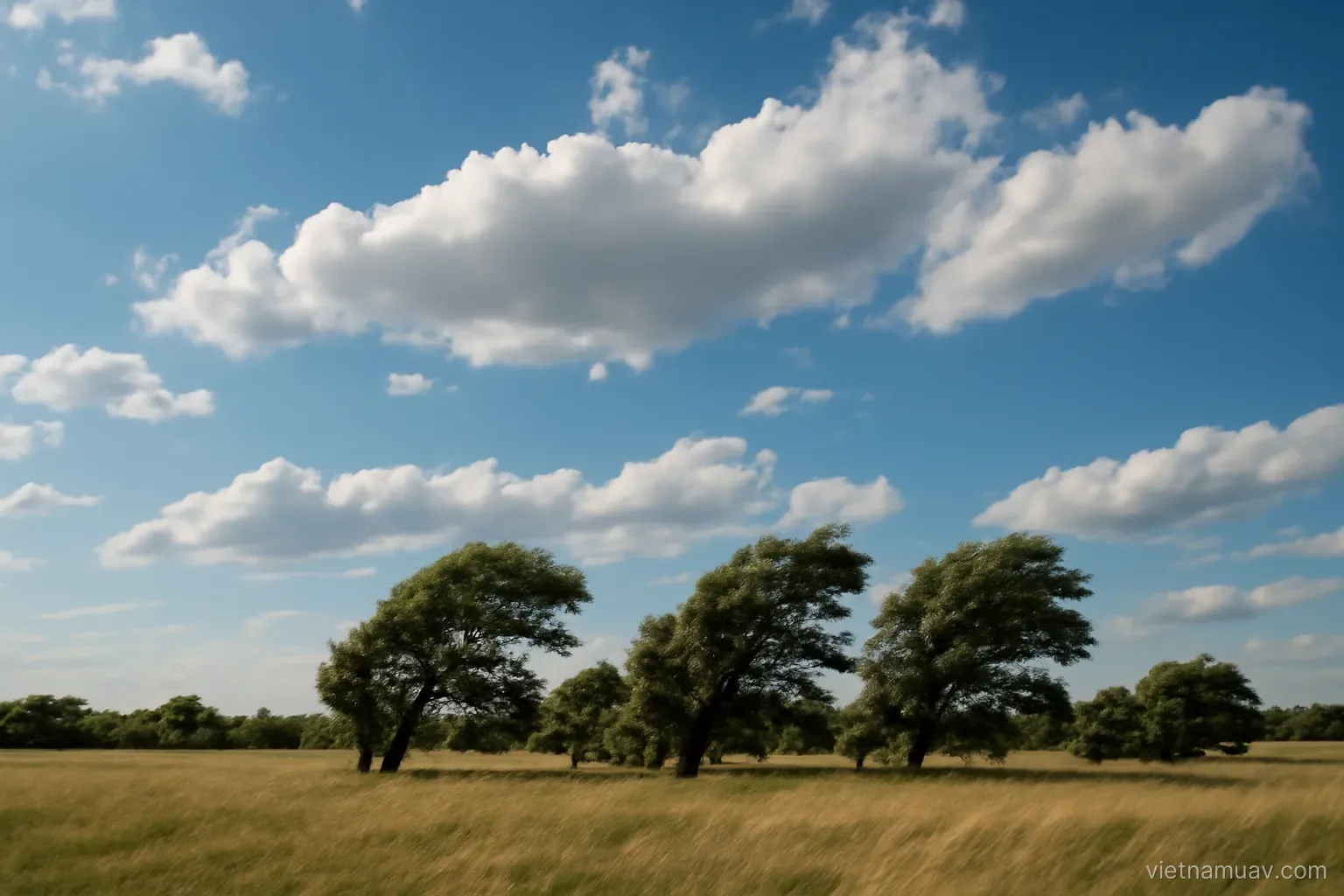
Observe on site. Trees, flags, smoke, water surface. They tell you the wind where you are, now.
Measure before flying. A handheld anemometer is cheap and worth having.
Better still, test with the aircraft. Hover at working altitude briefly and watch tilt and current draw. That is the real answer.
Rain and humidity
Most aircraft are not water resistant. Flying in rain damages electronics and motors.
Light drizzle is enough. Do not try to finish the job as it starts.
Rain develops quickly here. Clear sky can become heavy rain within twenty minutes during the wet season. Watch the cloud and be ready to land.
Thunderstorms. Bring severe gusts and lightning. Do not fly when storm indications are present, at any distance you can see them.
Fog. Removes visibility and softens imagery. Common at dawn in upland and riverine areas.
Condensation. Moisture forming on the lens as the aircraft climbs into cooler air produces soft images with no evident cause.
After rain. Wet foliage reflects, ground is saturated, and mist may rise. Wait for things to dry.
Protect the equipment. Waterproof covers and shelter at the launch point. Unexpected rain while airborne is a scenario to prepare for.
Dry everything afterwards. Even a light shower leaves moisture in connectors that will corrode contacts over time.
Cloud and light
Cloud affects data quality more than flyability.
Thin even cloud. The best condition for survey. Diffuse light, no hard shadows.
Clear sky. Strong light but pronounced shadows. Good for imagery, harder for mapping.
Broken cloud. The worst condition. Light changes between images and the mosaic shows patches.
Low cloud. May intersect the flight altitude in hilly terrain. Flying into cloud means losing sight of the aircraft and wetting it.
Sun angle. High sun gives short shadows and suits mapping. Low sun emphasises terrain relief but hides detail.
Glare. Sun in frame or reflected from water. Design flight direction to avoid it.
Optimal window for survey. Mid-morning to early afternoon under thin even cloud.
Check the direction of change. Cloud thickening or clearing over the next hour matters as much as what is overhead now.
Seasonal patterns in Vietnam
Two distinct seasons. The dry season provides far more stable conditions. Schedule large projects into it where possible.
Wet season. Rain commonly arrives in the afternoon in many regions, so fly mornings.
Typhoons. Monitor forecasts during the season. Effects extend for days before and after.
High temperatures. Affect batteries and electronics. Shade equipment while waiting.
Persistent humidity. Condensation is a constant concern. Store equipment dry.
Northern winter. Extended periods of drizzle and fog, with many days unflyable.
Upland areas. Conditions change fast and differ substantially between adjacent valleys.
Coastal areas. Stronger wind, and salt-laden air that corrodes equipment.
Build the season into the quote. A dry-season project and a wet-season project of identical size are not the same job.
Using forecasts effectively
Hourly forecasts. Necessary for planning a working day. Daily summaries are too coarse.
Multiple sources. Compare several. Where they disagree, that disagreement is itself information about uncertainty.
Wind aloft. Some sources give wind at several altitudes. Far more useful than surface wind alone.
Satellite imagery and rain radar. Show what is actually happening, more reliable than forecast for the next few hours.
Confidence decreases with time. Tomorrow is reasonably reliable; next week is a tendency.
Re-check on the morning. Forecasts move.
Build in contingency days. Particularly during the wet season.
Record actual conditions. Against forecast. Over time you learn which source is reliable for your area, which is worth more than any general recommendation.
Ask locally. People who work outdoors in that area often read the local pattern better than any model does.
Frequently asked questions
When is wind usually lightest in Vietnam?
Early morning. Wind typically builds through the afternoon, which is one reason survey flying is generally scheduled for mornings.
Which cloud condition is worst for survey work?
Broken cloud, because light changes between images and the resulting mosaic shows bright and dark patches. Thin even cloud is the best condition.
Why do images come out soft on a clear day?
Condensation forming on the lens as the aircraft climbs from warm humid air into cooler air — a persistent issue in this climate with no obvious cause.
Which weather information is more reliable than a forecast for the next few hours?
Satellite cloud imagery and rain radar, because they show what is actually happening rather than what a model predicts.
More in Operations and safety and Agricultural UAV.