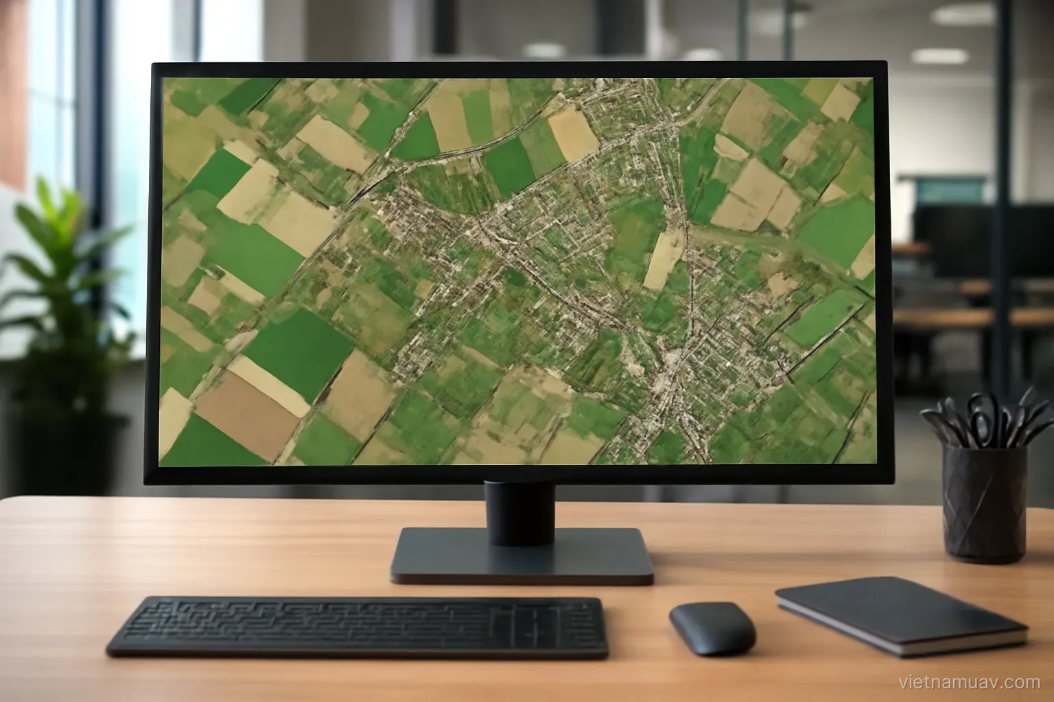
Several hundred overlapping photographs become a single measurable map through a chain of calculations. Knowing the chain tells you where things went wrong when the output is poor.
The processing chain
Feature matching. The software finds distinctive points that appear in multiple images and links them.
Camera pose reconstruction. From those links it solves for the position and orientation of the camera at each exposure, plus the three-dimensional position of the matched points.
Densification. From a sparse set of points it computes millions more, covering the whole surface.
Mesh generation. Points are connected into a continuous surface.
Texturing. Imagery is projected onto that surface to produce a coloured three-dimensional model.
Elevation model. Heights are resampled onto a regular grid.
Orthomosaic. Imagery is reprojected to a true vertical view, removing distortion caused by camera angle and terrain relief.
Time. Rises steeply with image count and with quality settings. A few hundred images can occupy a workstation for many hours.
Which output for which purpose
Orthomosaic. A flat, correctly scaled image on which distances and areas can be measured directly. The most widely used deliverable.
Digital surface model. Heights of everything visible — vegetation, buildings, equipment.
Digital terrain model. Ground heights with vegetation and structures removed. Required for earthworks and drainage analysis.
That removal is not automatic or perfect. Under dense canopy the software never sees the ground, so it interpolates, and accuracy drops accordingly.
Point cloud. Raw three-dimensional data for detailed measurement and analysis.
Textured mesh. For presentation, inspection and archiving site condition.
Contours. Derived from the elevation model. Familiar to civil engineering workflows.
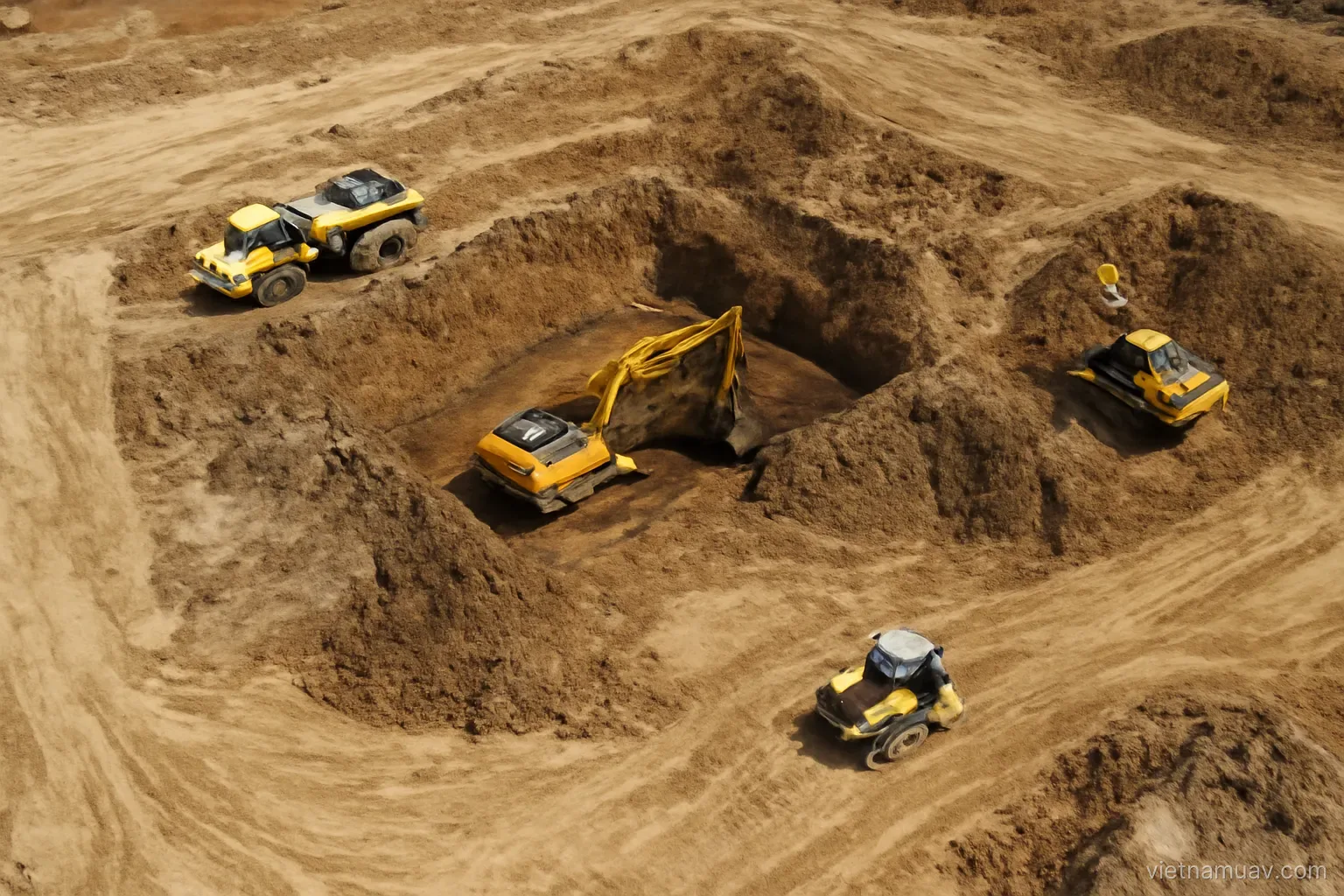
Volume calculations. From the difference between two surveys. Standard in quarrying and earthworks.
Judging accuracy honestly
The software's reported error is not accuracy. It describes how well the model fits its own input, not whether that input was correct.
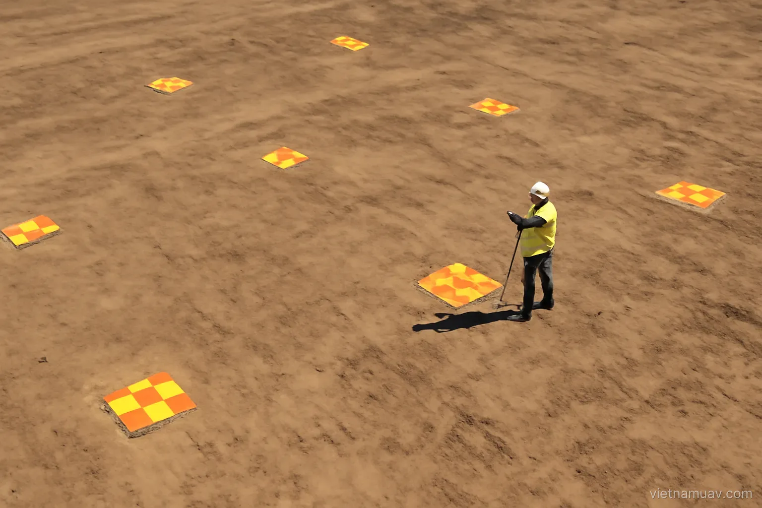
Use check points. Surveyed but excluded from processing. Compare their coordinates on the deliverable with the surveyed values.
Report horizontal and vertical separately. Vertical error is typically two to three times larger.
Check across the whole site. Not only the centre. Edges are consistently weaker because fewer images cover them.
Common causes of poor accuracy. Too few control points, poor distribution, insufficient overlap, featureless terrain, or an aircraft blown off attitude by wind.
A simple sanity check. Measure a distance in the field with a tape and compare it with the same distance on the map.
State the figure in the report. Delivering without an accuracy statement is a professional omission, and it invites disputes later.
Problems that appear during processing
A detached block. Part of the survey reconstructs separately from the rest. Caused by insufficient overlap or a featureless strip.
Water. Has no stable features, so it never reconstructs correctly. Expect distortion and either accept or mask it.
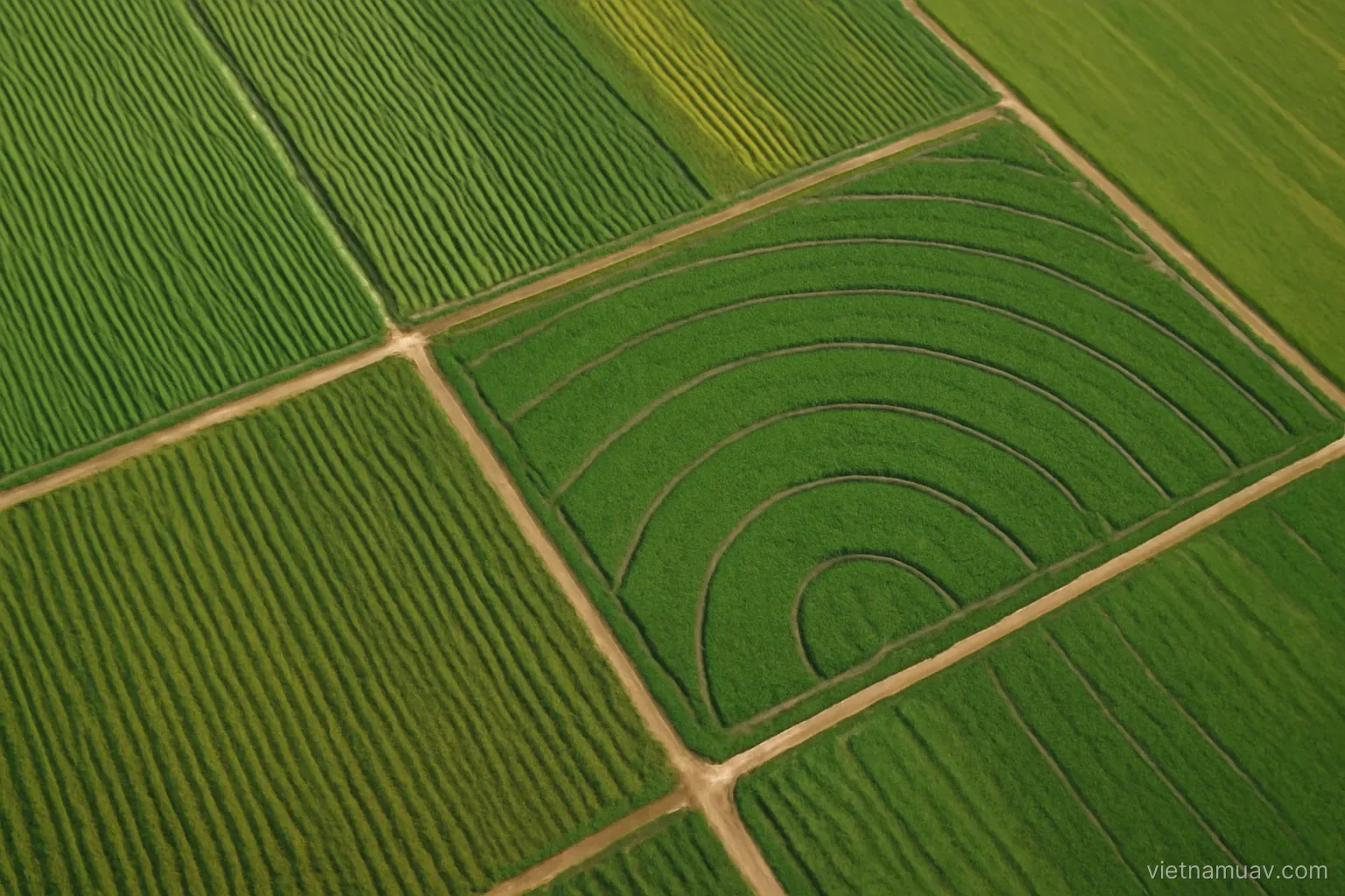
Repetitive surfaces. Tiled roofs, uniform crop rows, regular paving. The matcher locks onto the wrong repetition and produces confident nonsense.
Moving objects. Vehicles and people appear smeared, duplicated or partially erased.
Blurred images. Break feature matching. Identify and exclude them rather than letting them degrade the whole block.
Uneven exposure. Produces a patchwork mosaic. Some software balances this; capturing in stable light is better.
Leaning structures. Normal in a simple orthomosaic. A true orthophoto is required if buildings must appear vertical.
Test with a subset first. Thirty minutes of trial processing beats discovering a problem after eight hours.
Delivering the result
Formats the client can open. Ask what software they use. A deliverable they cannot load is not a deliverable.
Coordinate system. Stated explicitly and matching what they work in. This detail causes more trouble than any other.
File size. Survey outputs are large. Agree the transfer method and the storage arrangement in advance.
Technical report. Date, conditions, equipment, altitude, overlap, image count, control points, software, and achieved accuracy.
Named limitations. Which areas are unreliable and why — under canopy, over water, at the boundary. Saying so is professional rather than weak.
Raw data. Agree in advance whether original images are handed over, since it affects both rights and volume.
Retention. Keep source data for a period. Clients often need reprocessing or a different product from the same flight.
Record your settings. Processing parameters and software version. Needed if the work must be repeated or defended.
Frequently asked questions
Does the software's reported error indicate accuracy?
No. It describes how well the model fits its own input, not whether that input was correct. Only surveyed check points excluded from processing give a real measure.
Why does water reconstruct badly?
It has no stable features for the matcher to track between images, so the surface is distorted. The practical response is to accept it or mask the area.
What is the difference between a surface model and a terrain model?
A surface model gives heights of everything visible including vegetation and buildings; a terrain model gives ground heights with those removed — and that removal is neither automatic nor perfect.
Which delivery detail causes the most trouble?
The coordinate system. It must be stated explicitly and must match what the client works in, otherwise the data will not align with their existing information.
More in Airspace rules and permits and Agricultural UAV.