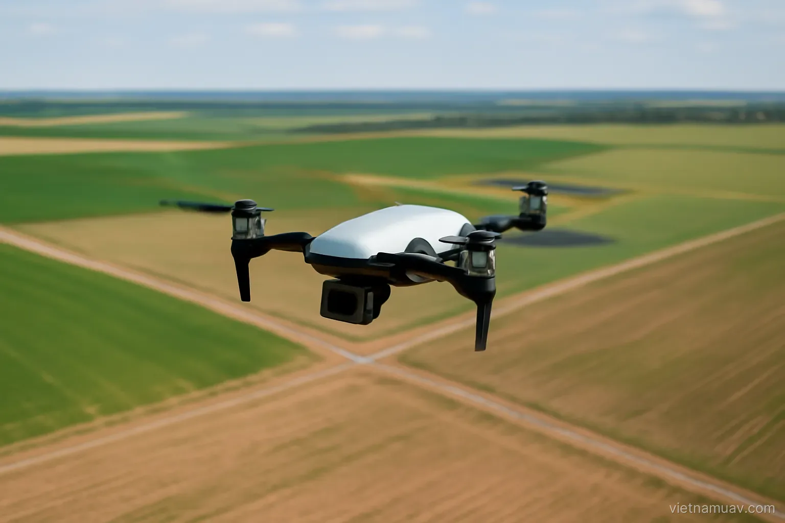
 Survey and mapping
What a survey flight actually has to get right
Ground sample distance, overlap and control points decide whether the map is usable. Everything else is detail.
Survey and mapping
Ground sample distance, overlap and control points decide whether the map is usable. Everything else is detail.
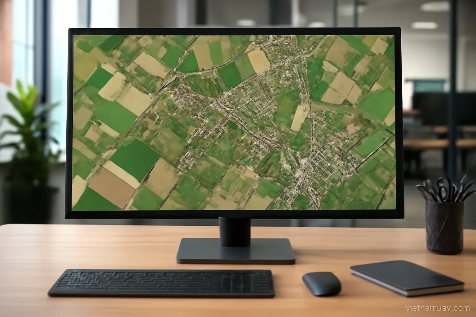 Survey and mapping
What photogrammetry software actually does, what each output is for, and how to judge whether it worked.