Delivering a flawed product that the client discovers costs you reputation. Delivering one nobody discovers is worse, because they will make decisions on it.
Coverage and completeness
The full requested area is covered. Overlay the requested boundary on the deliverable and check visually.
No holes. Areas with no data. Usually where overlap was insufficient or the surface failed to reconstruct.
Edges. Boundary regions are consistently weaker because fewer images cover them. Check carefully.
Resolution meets specification. Measured on the product and compared with what was promised.
Resolution is consistent. On sloping ground, check that no area is markedly coarser.
Usable image count. Software reports how many images were successfully incorporated. A low ratio indicates a problem worth understanding.
All contracted products present. Where several deliverables were specified.
Format and coordinate system. As agreed, verified by opening in the client's software rather than assuming.
File integrity. Large exports occasionally truncate. Open each deliverable fully before considering it finished.
Accuracy verification
Use check points. Surveyed but deliberately excluded from processing.
Compare coordinates. On the product against surveyed values, calculating error per axis.
Report horizontal and vertical separately. They differ substantially.
Check across the site. Not just the centre. Error generally increases toward the boundary.
Independent distance check. Measure a distance in the field and compare with the same distance on the map. Quick and intuitive.
Compare against existing data. Legacy mapping, survey monuments, structures with known coordinates.
If it fails. Diagnose before delivering. Usually insufficient control points, poor distribution, or a mis-surveyed point.
State the result in the report. Achieved accuracy, method of verification, number of check points. This is the professional part and it is frequently omitted.
Keep the check point data. If accuracy is later questioned, the evidence needs to still exist.
Imagery defects
Distorted regions. Typically over water, uniform roofing, or moving vegetation. Review the whole mosaic at moderate zoom.
Visible seams. Boundaries between images showing as brightness steps. Balancing tools exist in most software.
Duplicated or vanished objects. Vehicles and people that moved between exposures.
Leaning structures. Normal in a simple orthomosaic. A true orthophoto is needed where buildings must appear vertical.
Hard shadows. Obscuring detail. Not correctable afterwards, only avoidable by choosing the flight window.
Clipped highlights or blocked shadows. Permanently lost detail.
Soft imagery. From vibration or a dirty lens. Check at full magnification.
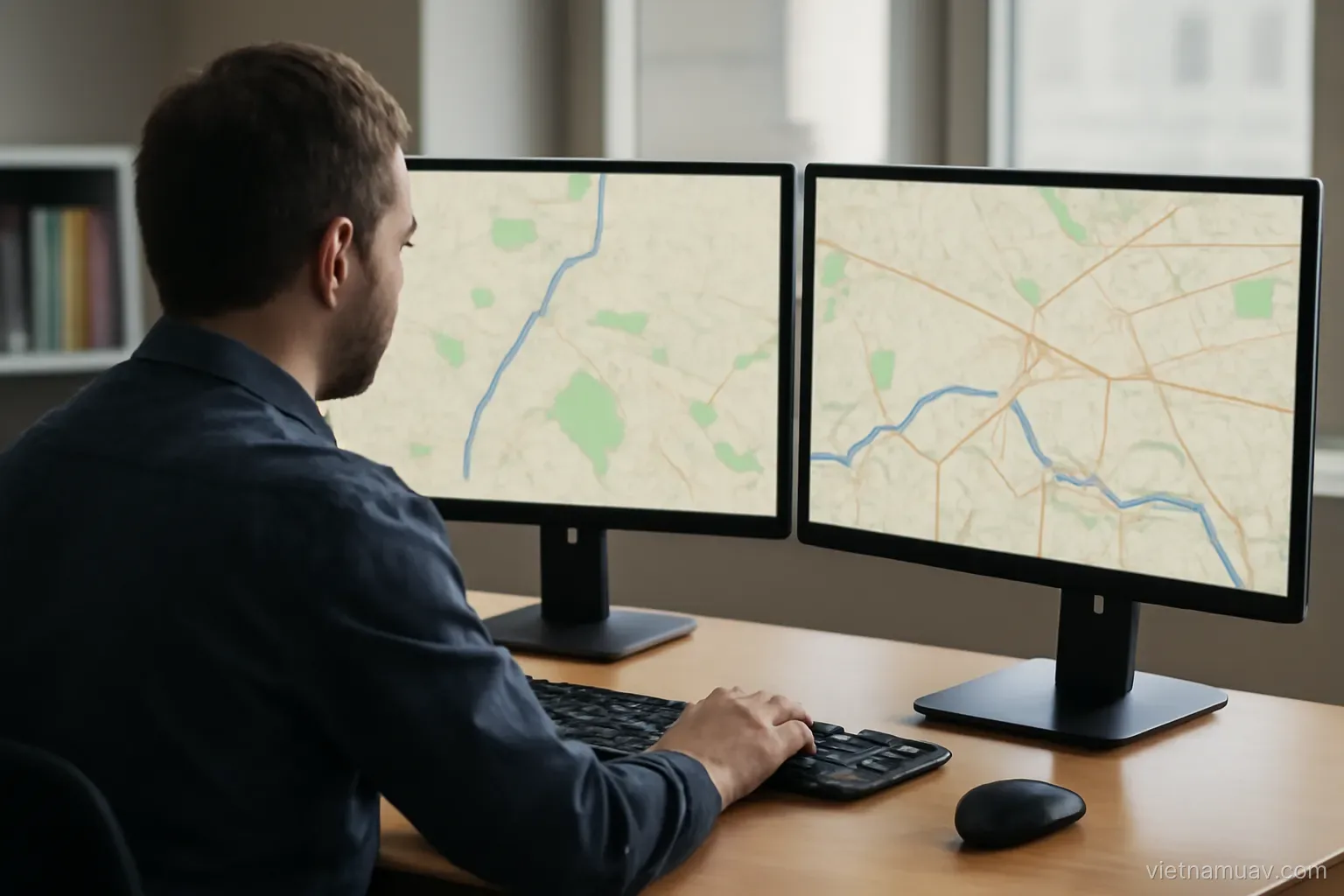
An effective review method. Scan the whole product at three zoom levels — overview, moderate, and detail at several random points.
Look along the flight lines. Systematic problems often show as a repeating pattern aligned with the flight direction.
Elevation model defects
Noisy areas. Rough surface where the ground is actually smooth, typically over water or low-texture terrain.
Spurious pits and mounds. Caused by matching errors. Visible when the model is coloured by height.
Vegetation not removed. Where a terrain model was specified. Check in vegetated areas.
Structures not removed. Same issue.
Interpolated regions. Beneath dense canopy the software estimates from surrounding points. Accuracy there is low and should be stated.
Steps between flight strips. Indicating a discrepancy between sorties.
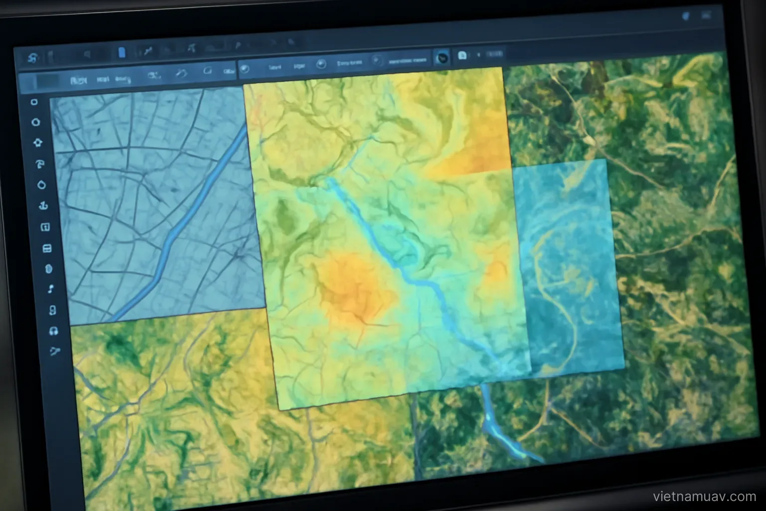
How to review. Colour by height and view the whole model. Anomalies stand out immediately. Then cut several profiles and check the height curves are plausible.
Compare against reality. Height difference between two known points on the ground.
Check the extremes. The highest and lowest values in the model. Wildly implausible extremes indicate outliers that will distort any volume calculation.
Packaging and handover
Technical report. Date, equipment, altitude, overlap, image count, control points, processing software, achieved accuracy.
Stated limitations. Which areas are unreliable and why. Being explicit is professional and prevents disputes.
Usage notes. Where the client is unfamiliar with this type of product.
Verify files open. In the software the client uses. Do not assume.
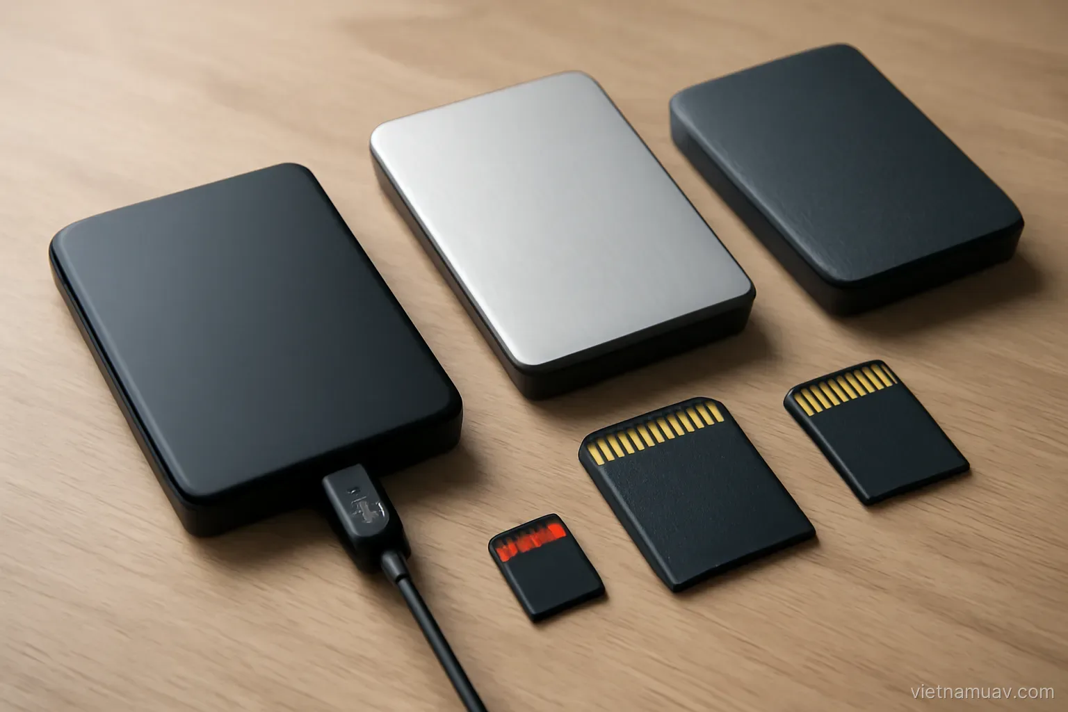
Transfer method. Drive, network transfer or a sharing service. Agreed in advance given the file sizes.
File manifest. So both sides can reconcile what was delivered.
Handover record. Documenting what was provided. Protects both parties.
Retain a copy. Clients lose data and come back for it.
Ask for confirmation of receipt. A delivery nobody has confirmed opening is not yet complete.
Frequently asked questions
What is the only reliable measure of accuracy?
Surveyed check points deliberately excluded from processing, compared against their coordinates on the deliverable, with horizontal and vertical error reported separately.
How should imagery be reviewed for defects?
Scan the whole product at three zoom levels — overview for seams and distortion, moderate for anomalies, and full detail at several random points for sharpness.
What is the fastest way to find elevation model errors?
Colour the model by height and view it whole. Spurious pits and mounds stand out immediately, then cut several profiles to check the curves are plausible.
What part of the report is most often omitted?
A clear statement of which areas are unreliable and why. Being explicit about limitations is professional and prevents disputes later.
More in Survey and mapping and Agricultural UAV.