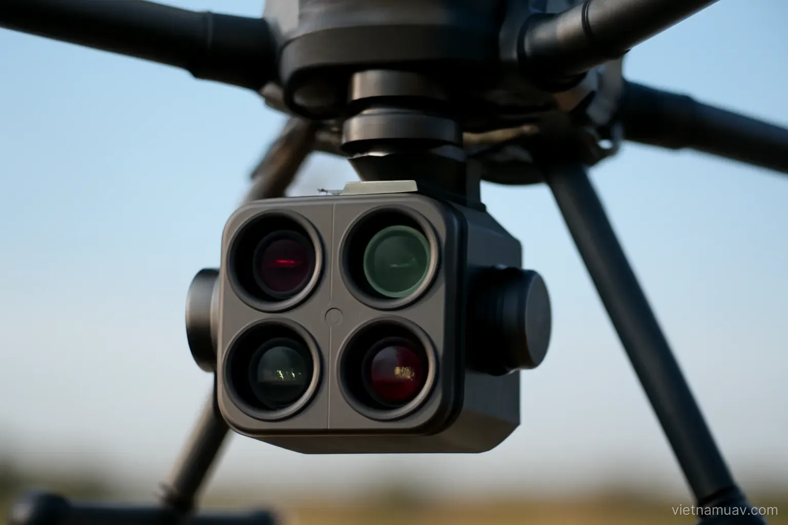
A normal camera records three bands the eye can see. A multispectral sensor records additional bands, and those bands carry information about plant condition that visual inspection cannot provide.
The bands and what they mean
Blue, green and red. The visible range, producing ordinary colour imagery.
Red edge. Between red and near infrared. Highly sensitive to changes within leaf tissue and often shows stress earlier than other bands.
Near infrared. Healthy leaves reflect it strongly. Stressed leaves reflect less.
The biology behind it. Chlorophyll absorbs red light for photosynthesis, while internal leaf structure reflects near infrared. Both change when a plant is under stress.
Why ratios are used. Absolute values depend on illumination intensity. Ratios between bands are far more stable.
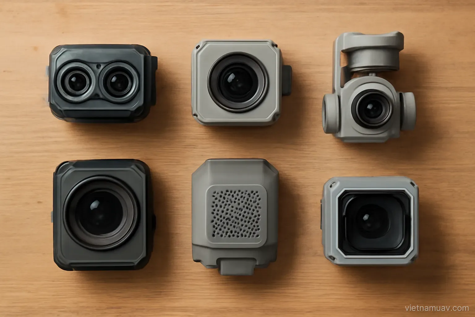
Band count. Common sensors carry four to six. More bands allow finer analysis at substantially higher cost.
Hyperspectral. Hundreds of narrow bands. Very expensive and largely confined to research.
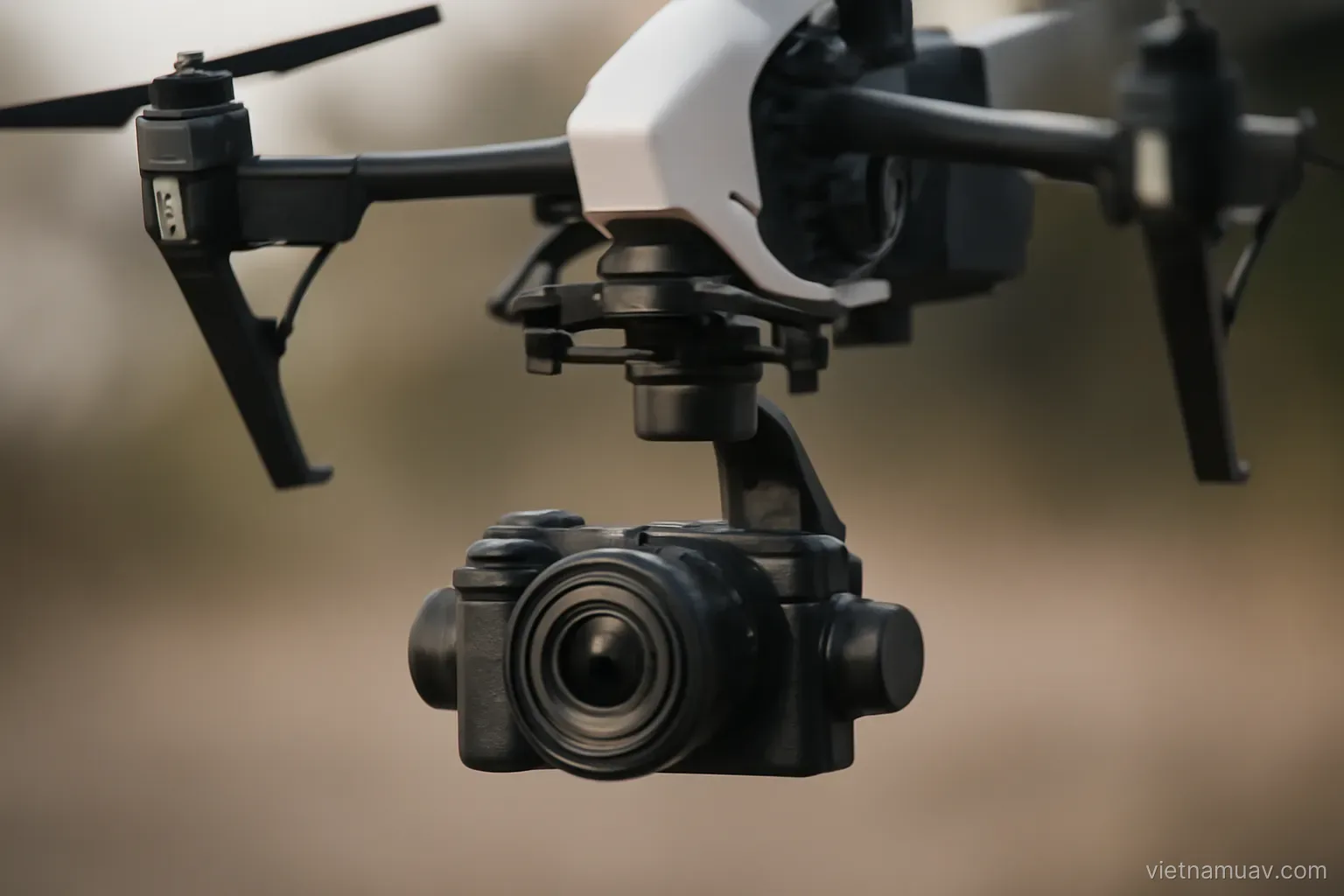
Band alignment. Multi-lens sensors image from slightly different positions, so the bands must be co-registered — an important processing step.
Not every band earns its place. Adding bands you do not have an analysis for adds cost, weight and processing time without adding insight.
Calibration is mandatory
Why. Illumination changes with time, cloud and sun angle. Without calibration, values cannot be compared.
Reflectance panel. A target with known reflectance across the bands, imaged before and after each flight.
How to image it. Panel horizontal, no shadow across it, photographed from directly above at the correct distance.
Panel care. Dirt or scratches change its reflectance and corrupt the calibration. Keep it in its case and never touch the surface.
Onboard light sensor. Measures illumination continuously during flight, allowing correction for changes between images. Extremely useful under variable cloud.
Repeat panel captures. On long flights or when conditions shift.
Record time and conditions. Required for processing and for comparison between flights.
Skipping calibration. Indices can still be computed, but the values are only comparable within a single flight, not between flights or dates.
Check the panel against a reference occasionally. Panels age, and a drifting reference produces a slow, invisible error in every dataset.
Flying and processing
Time of day. Near midday for high sun angle and short shadows, giving the most stable illumination.
Avoid broken cloud. Changing light between images is the worst condition for multispectral work.
Overlap. Similar to standard survey, often slightly higher.
Band co-registration. Aligning the bands captured from slightly different lens positions. A critical processing step.
Mosaicking. Each band processed while remaining aligned with the others.
Index calculation. From calibrated bands. Processing software includes standard formulas.
Zoning. Dividing the index map into classes by threshold. This is the output a grower can actually use.
Ground verification. Visit several zones and confirm. Mandatory.
Keep the calibrated bands. Not just the index. A different index may be more informative later, and recomputing from raw imagery is otherwise impossible.
Applications beyond crops
Water quality monitoring. Algal blooms, turbidity and pollution have distinct spectral signatures.
Vegetation classification. Distinguishing species and detecting invasive plants.
Forest health. Locating dead trees, pest damage and declining stands.
Archaeology. Buried structures affect the vegetation growing above them, visible in certain bands.
Soil contamination. Indirectly, through the condition of vegetation growing on it.
Land cover mapping. For planning and resource management.
Coastal and wetland monitoring. Where vegetation type and condition indicate wider environmental change.
The common requirement. Multispectral helps where things that look similar in ordinary imagery differ in their reflectance properties.
The universal limitation. It measures surface reflectance. Every conclusion about cause is inference and requires verification.
Before committing
Define the specific question. What does multispectral answer that a colour camera cannot. If you cannot state it, do not buy yet.
Trial it as a service. One flight, and assess whether the output is genuinely useful.
Check client comprehension. Multispectral products are harder to explain than photographs. A client who does not understand the output will not commission a second one.
Associated costs. Calibration panel, processing software, learning time.
Longer processing. More bands, more steps. Build it into pricing.
Domain knowledge required. Without it the deliverable is a coloured map rather than advice.
Consider the colour camera first. A great many agricultural questions — plant counts, area, gaps, waterlogging — are answered by ordinary imagery.
Build there first. Establishing a service on a standard camera and then upgrading is the lower-risk route.
Confirm the analysis chain exists. Capturing bands you cannot process into something actionable is an expensive way to collect files.
Frequently asked questions
Why does multispectral work require a reflectance panel?
Because illumination changes with time, cloud and sun angle. Without calibration, values cannot be compared between flights or between dates.
Which processing step is specific to multi-lens sensors?
Band co-registration — aligning bands captured from slightly different lens positions. Without it the index calculation combines misaligned pixels.
Why keep calibrated bands rather than only the index?
Because a different index may prove more informative later, and recomputing from the original imagery is otherwise impossible.
What should be established before buying a multispectral sensor?
A specific question it answers that a colour camera cannot, and confirmation that the client understands and values the resulting product.
More in Flight data processing and Survey and mapping.