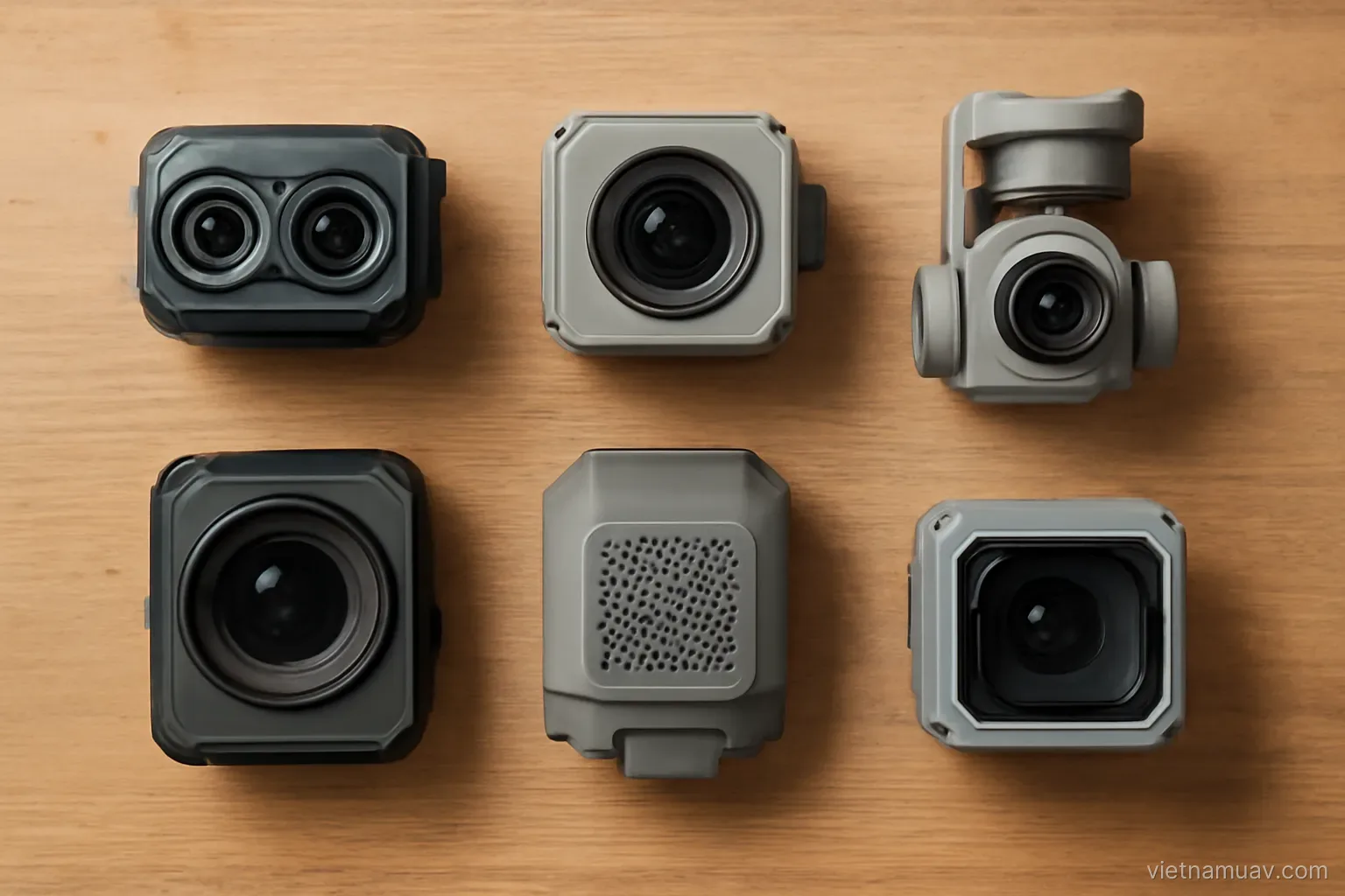
The airframe carries. The payload decides what the operation is capable of, and in professional work it is frequently the more expensive half of the system.
Weight and balance constraints
Rated payload. Exceeding it makes the aircraft unstable and unsafe.
Do not operate at the limit. Endurance falls sharply, wind tolerance drops, and there is no margin left for handling a problem.
Practical guideline. Keep payload around seventy per cent of rated capacity.
Effect on endurance. Disproportionate. Adding weight costs more flight time than the ratio suggests.
Balance. The payload must sit near the centre of gravity. An offset load makes the aircraft hold a permanent tilt, wasting energy and reducing stability.
Mounting. Rigid, with vibration isolation. Vibration transmitted into a camera destroys image quality.
Power supply. Some sensors draw from the aircraft. Check voltage and current limits before connecting anything.
Data path. Whether the payload streams to the controller or records to its own card. This affects the whole workflow.
Check the aircraft's approved list. Some platforms restrict which payloads may be fitted, and unapproved combinations can invalidate warranty or support.
Optical cameras
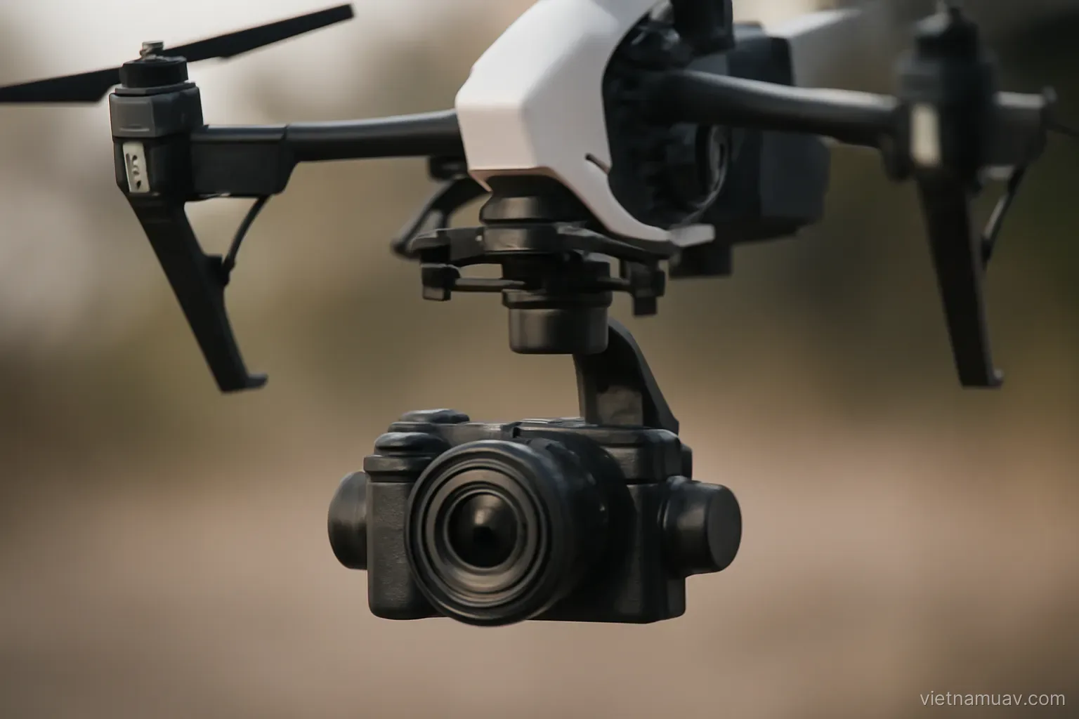
Integrated camera. On consumer and prosumer platforms. Convenient, well balanced and supported by the software. Sufficient for a great deal of professional work.
Large-sensor camera. Noticeably better image quality, especially in weaker light. Heavier and needs a suitable mount.
Survey camera. Built for mapping — mechanical shutter, fixed focal length, factory calibration. Expensive and the most accurate option.
Zoom camera. For inspecting structures from a safe standoff. Unsuitable for mapping because focal length changes.
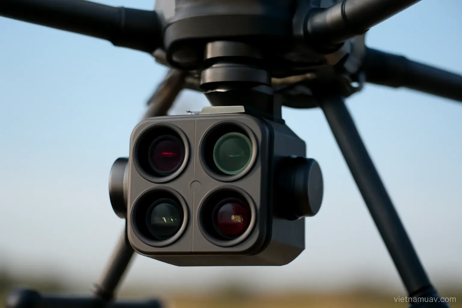
Multi-lens camera. Capturing several angles simultaneously, which improves efficiency when surveying vertical structures.
Stabilised mount. Three-axis is standard. Without it images blur and camera pointing is uncontrolled.
Filters. Neutral density for video work, polarisers for reflection control. Rarely relevant to mapping.
Selection approach. Start with the integrated camera and upgrade when you hit a specific limitation — insufficient detail, insufficient accuracy, or insufficient light.
Consider serviceability. A payload that cannot be repaired locally becomes a long outage when it fails.
Specialist sensors
Multispectral. For crop and vegetation monitoring. Requires a calibration panel and its own processing workflow.
Thermal. For infrastructure inspection, search work and detecting thermal anomalies.
Laser scanning. For terrain beneath vegetation and precise three-dimensional models. Heavy and very expensive, requiring a larger airframe.
Gas sensors. Measuring atmospheric concentrations for environmental and industrial safety monitoring.
Magnetometer. For geophysical survey. Sensitive to interference from the aircraft, so it is usually suspended below on a line.
Ground-penetrating radar. For subsurface investigation. Highly specialised and uncommon.
Loudspeaker and searchlight. For rescue and deterrent applications.
The rule. Buy a specialist sensor only when the demand is established and recurring. They are expensive, require training, and usually bring their own processing software.
Try before committing. Hire or borrow for one project. Many purchased sensors go unused because reality did not match expectation.
Integration
Same manufacturer is simplest. Payloads from the airframe maker generally work on connection.
Third-party payloads. Cheaper or more capable, but integration effort is real.
Mechanical interface. Whether a suitable mount exists.
Electrical interface. Power and control signalling.
Software integration. Whether it can be controlled from the ground station and whether it synchronises with position data.
Position and time synchronisation. The most important factor for survey. Each image must carry an accurate position for the moment of exposure.
Trigger method. The aircraft commanding capture and logging position is considerably more accurate than the camera firing on its own interval.
Test before deploying. Integration failures discovered on site waste the entire trip.
Document the setup. Cable routing, settings, firmware versions. Six months later nobody remembers, and rebuilding it from scratch takes hours.
Investment decisions
Start from demonstrated need. Is there work you are currently declining for lack of this capability.
Estimate revenue. Jobs per year at realistic rates, against equipment cost and learning time.
Payback period. Specialist equipment often has a long one, and technology moves.
Hire instead of buying. For equipment used occasionally. A rental market exists in some places.
Subcontract. Win the work and subcontract the specialist element. You keep the client without the capital outlay.
Hidden costs. Dedicated processing software, training, periodic calibration, maintenance.
Airframe capacity. A heavy sensor may require a larger aircraft. The true cost is the whole combination.
Resale value. Some payloads hold value better than others, which affects the real cost of an experiment.
Ask what problem it solves. If you cannot state that in one sentence with a named client, it is not yet time to buy.
Frequently asked questions
What proportion of rated payload should be used?
Around seventy per cent. Operating at the limit sharply reduces endurance and wind tolerance and leaves no margin for handling a problem.
Why are zoom cameras unsuitable for mapping?
Because changing focal length invalidates the camera calibration. Mapping requires a fixed focal length, ideally with a mechanical shutter.
Which integration factor matters most for survey work?
Position and time synchronisation. Each image must carry an accurate position for the moment of exposure, and aircraft-triggered capture is far more accurate than interval shooting.
What should be done before buying a specialist sensor?
Hire or borrow one for a single project to confirm it solves the intended problem. Many purchased sensors go unused because reality differed from expectation.
More in Flight data processing and Survey and mapping.