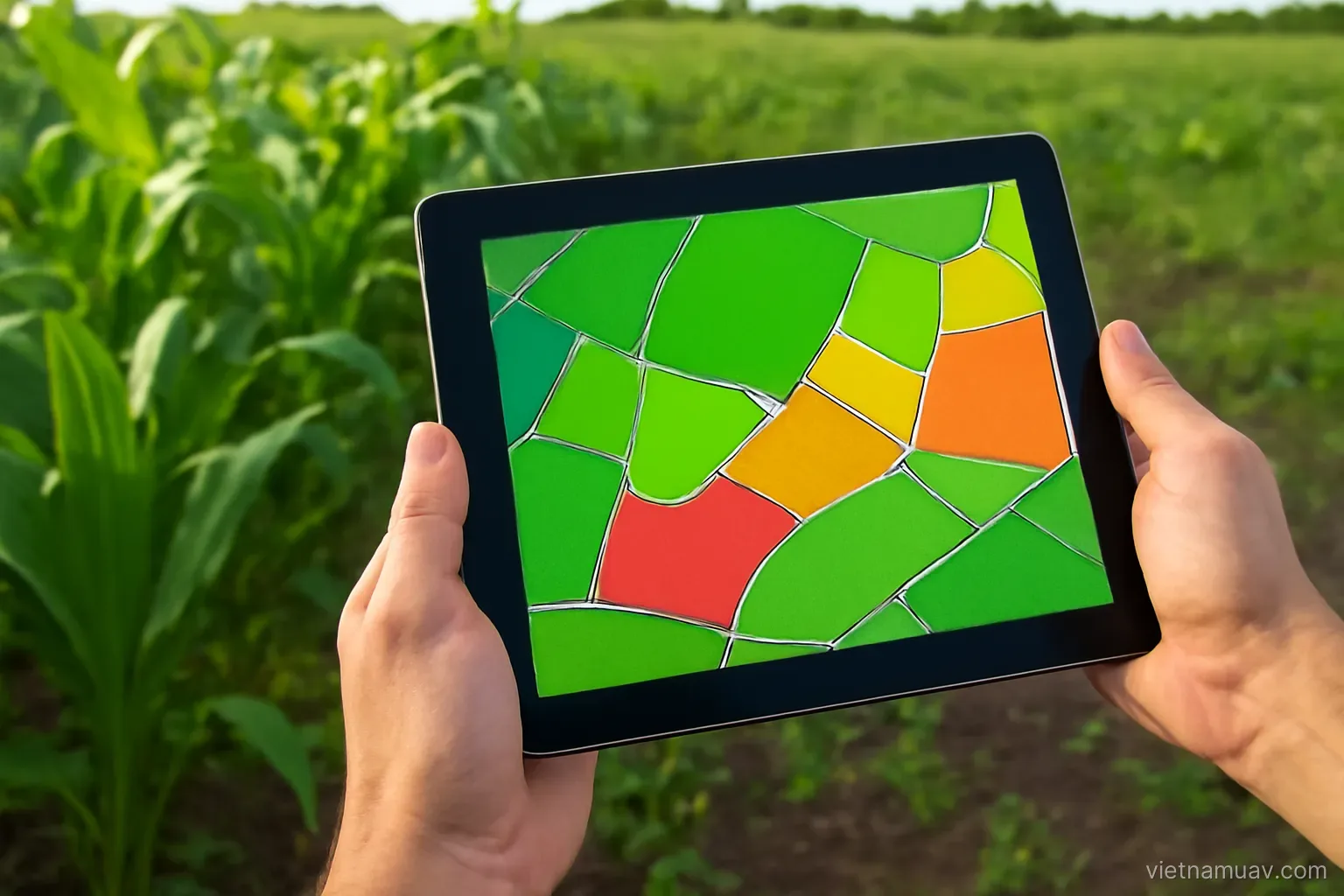
 Agricultural UAV
Combining survey and treatment
Fly to find out where the problem is, then treat only there. The loop that makes precision agriculture real.
Agricultural UAV
Fly to find out where the problem is, then treat only there. The loop that makes precision agriculture real.
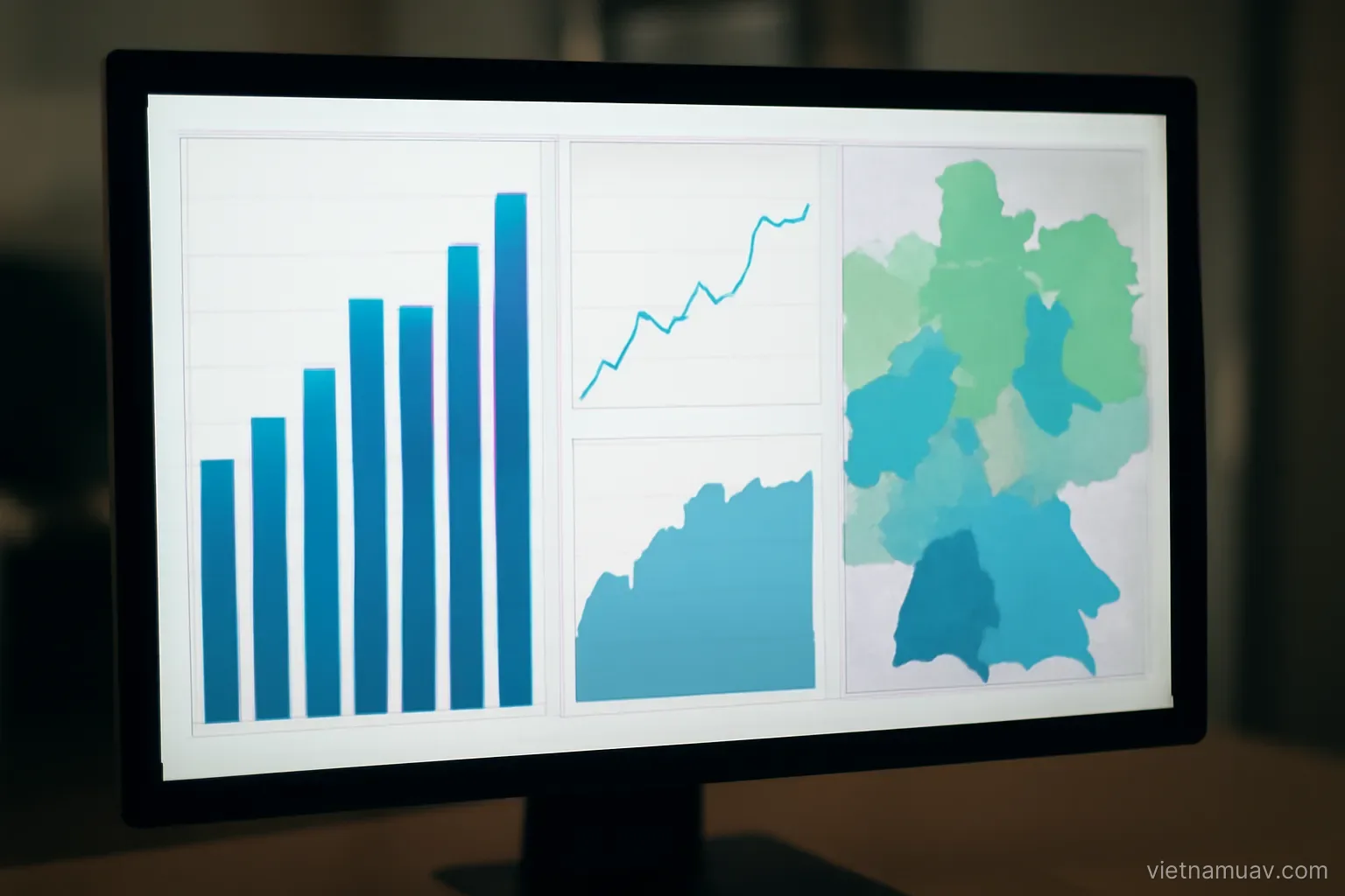 Flight data processing
Maps are raw material. The value is in the measurements and conclusions the client actually acts on.