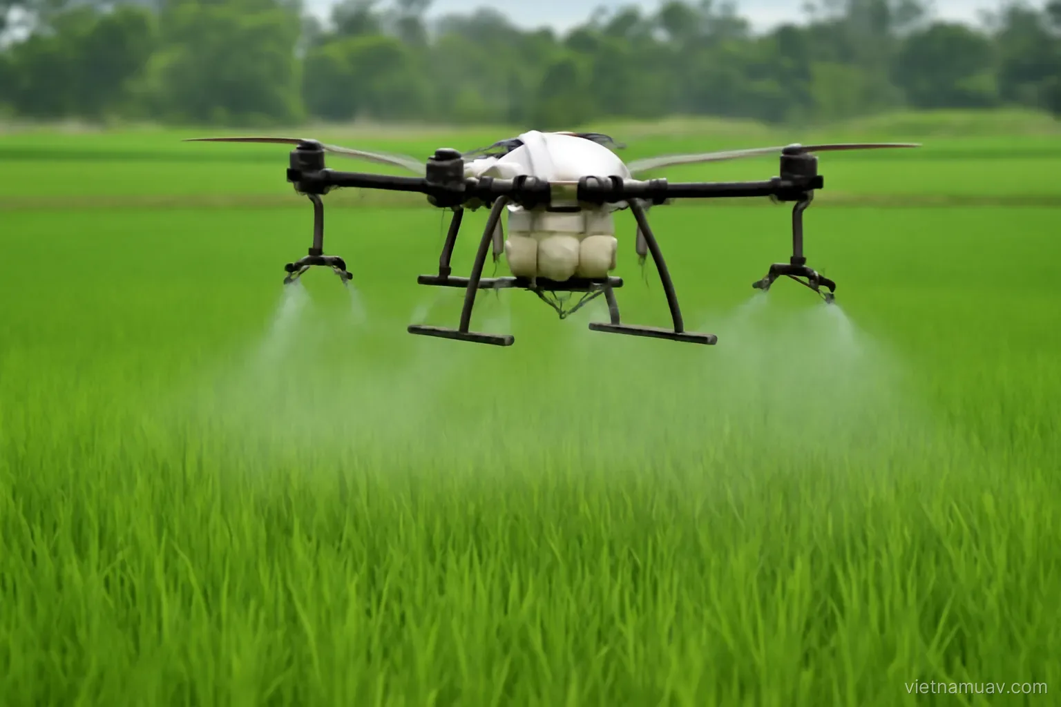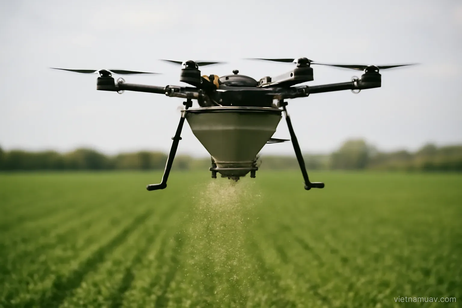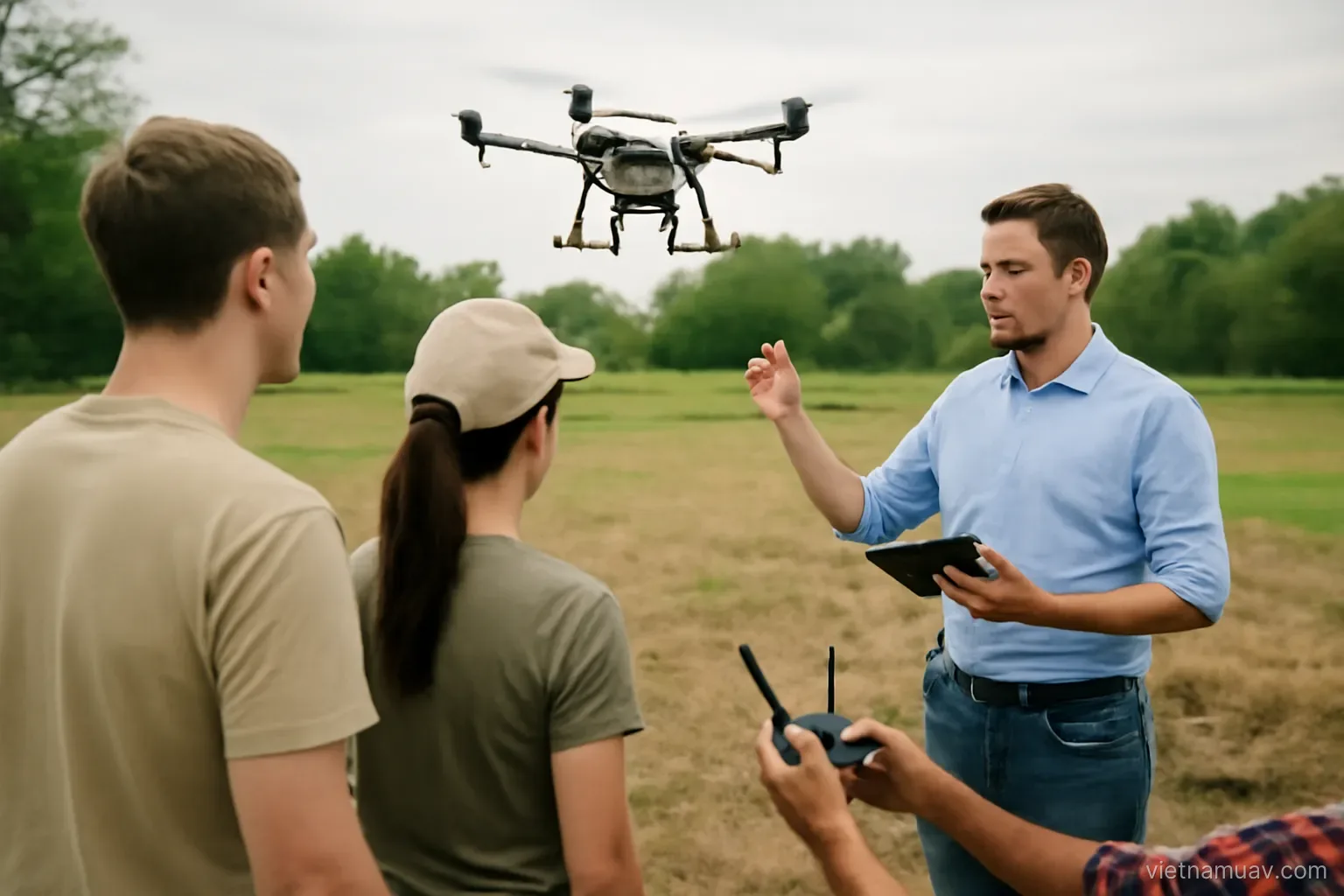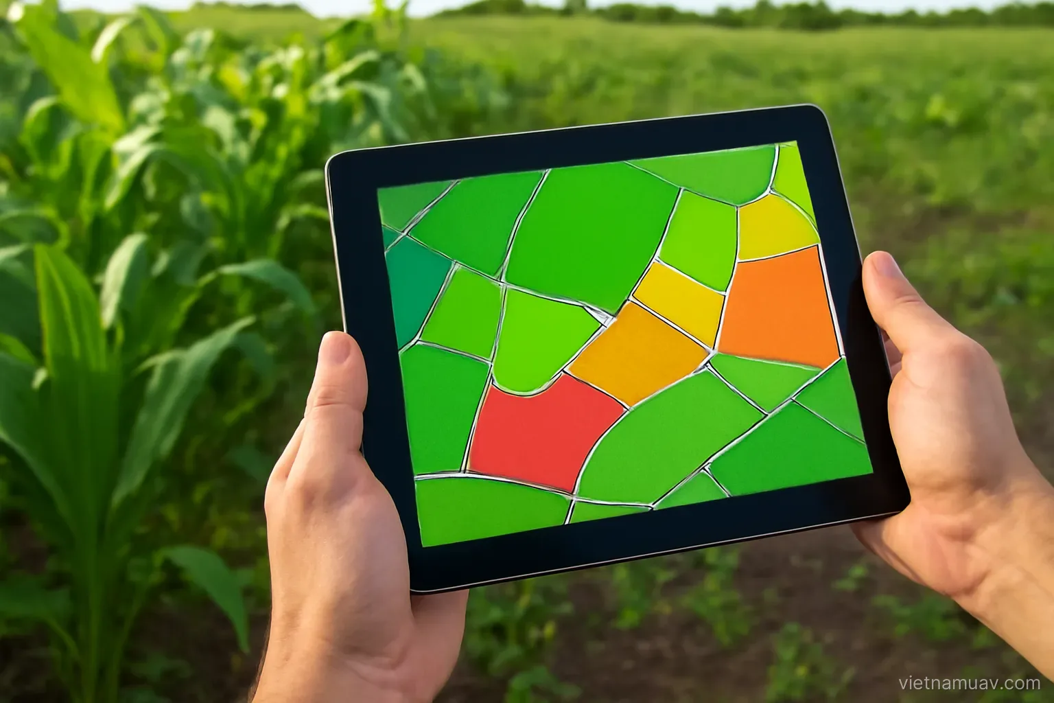
Uniform treatment across a whole field is the default, and it wastes input wherever the field does not need it. Surveying first and treating by zone has measurable value — when the conditions for it are met.
The workflow
Step one. Survey flight producing a condition map of the whole field.
Step two. Analysis identifying zones and their severity.
Step three. Ground verification at several flagged locations to establish the actual cause.
Step four. Build a treatment map — which zone gets what, at what rate.
Step five. Treatment flight following the map, with the aircraft varying flow by zone.
Step six. Follow-up survey after an interval to check whether it worked.
Step three is the one people skip. And skipping it is a fundamental error, because the map identifies difference, not cause.
Step six creates the long-term value. It demonstrates effect and sharpens interpretation for next time.
Technical requirements
Accurate georeferencing. The treatment aircraft must know which zone it is over. A few metres of error puts treatment on the wrong ground.
Format compatibility. The zone map must load into the spray aircraft's control software. Not every platform accepts one.
Number of zones. Too many and the aircraft is constantly changing flow without settling. Three to five rate steps is realistic.
Mechanism response time. Flow does not change instantly, so zones must be large relative to flight speed.
Interval between survey and treatment. As short as possible. Crop condition changes quickly.
Check platform support first. Before promising variable rate application to a client.
A simpler fallback. If the aircraft cannot accept a map, divide the field into a few blocks and treat each at a different rate. Cruder, but still better than uniform application.
The economics
Input savings. Not treating where treatment is unnecessary. The size of the saving depends on how variable the field is.
Do not overstate it. A uniform field saves little. The benefit concentrates in fields with genuine variation.
Yield effect. Deficient areas get what they need. Hard to measure precisely but real.
Environmental effect. Less chemical reaching soil and water.
Added costs. The survey flight, analysis time, and ground verification time.
When it pays. Compare added cost against input saved. On small fields or with cheap inputs it may not.
Scale is the deciding factor. Survey cost per hectare falls quickly with area. This service fits larger operations better than smallholdings.
Cooperative model. Several adjacent holdings surveyed in one flight, cost shared. Keeps the value while spreading the expense.
Building advisory capability
This is what differentiates. Many people can fly. Interpreting the data and making sound recommendations is rarer.
Agronomic knowledge required. Crop, growth stage, pests, nutrition. Without it the map means nothing.
Partner with an agronomist. The practical route if you lack that background yourself.
Build a record over seasons. Multiple seasons on the same field reveal patterns — which areas always underperform, whether a problem recurs or was one-off.
Learn from outcomes. Which recommendations worked and which did not. This feedback loop is the only route to competence.
Be honest about uncertainty. Saying the cause is unclear and needs further checking is far better than guessing.
Simplify the output. Growers need to know what to do, not to read complex charts.
Build long relationships. This service only demonstrates value across seasons. A single engagement proves nothing.
Limitations to state clearly
It does not replace field inspection. The map says where to look; someone still has to look.
It does not diagnose cause. Stated before and worth repeating, because it is the most persistent misunderstanding in the field.
It does not see below ground. Root problems, nematodes and soil structure only appear once the canopy is affected.
Not every problem shows spectrally before it is visible. Some do; many do not.
Weather dependency. Several days of rain means missing the window when the information would have mattered.
Turnaround time. Hours at minimum from flight to map. For urgent problems that may be too slow.
Not every field justifies it. Small, uniform, or low-value crops rarely cover the cost.
Say all this at the outset. Clients with accurate expectations are satisfied with real results. Overselling loses the account after one season.
Frequently asked questions
Which step in the workflow is most often skipped?
Ground verification after the survey. Skipping it is a fundamental error because the map identifies where conditions differ, not why they differ.
How many treatment zones are realistic?
Three to five rate steps. More than that and the aircraft changes flow constantly without the mechanism settling, so the intended rates are never actually applied.
When does variable rate application pay for itself?
On fields with genuine variation and enough area that survey cost per hectare is low. Small, uniform fields or cheap inputs usually do not cover the added cost.
What differentiates a precision agriculture service?
The ability to interpret the data and make sound agronomic recommendations. Flying is the commodity part; interpretation requires crop knowledge.
More in Sensors and payloads and Flight planning.