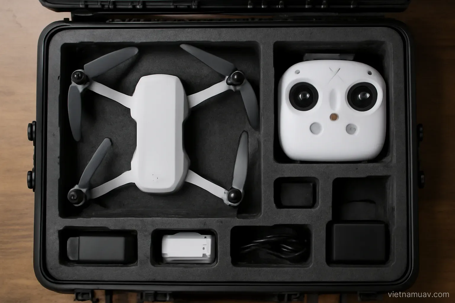
Expensive equipment does not by itself produce good deliverables, and modest equipment covers a surprising amount of professional work. What matters is matching the kit to the jobs you actually have.
Multirotor or fixed wing
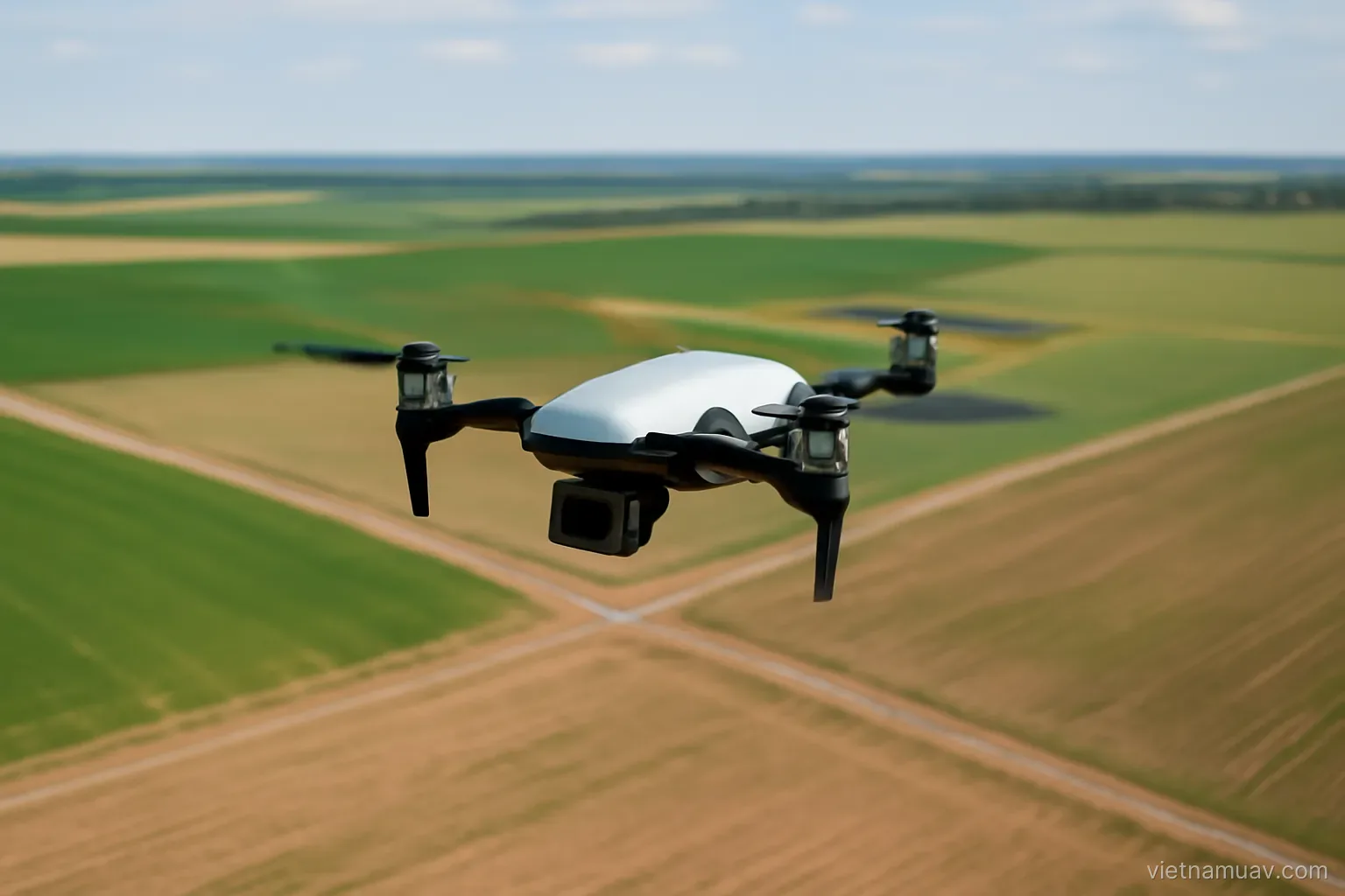
Multirotor. Vertical takeoff, no landing strip needed, can fly slowly and hold position. Simple to operate. Endurance typically twenty to thirty minutes.
Fixed wing. Far greater range and endurance, covering much more ground per flight. Needs launch and recovery space and cannot hover.
Hybrid. Vertical takeoff transitioning to forward flight. Combines the advantages at higher cost and complexity.
Choose by area. Tens of hectares per sortie suits multirotor. Hundreds of hectares makes fixed wing worth considering.
Choose by terrain. Complex terrain, obstacles and any requirement to fly close means multirotor.
Choose by task. Structure inspection requires slow flight and hovering, so multirotor is mandatory.
Typical progression. Most operators start with multirotor for flexibility and add fixed wing once large-area work becomes regular.
High-precision positioning
Standard positioning. Several metres of error. Adequate for flying but not for accurate image coordinates.
High-precision positioning. Centimetre-level, giving accurate camera positions for every exposure.
Two approaches. Real-time correction from a base station, or post-processed using logged data.
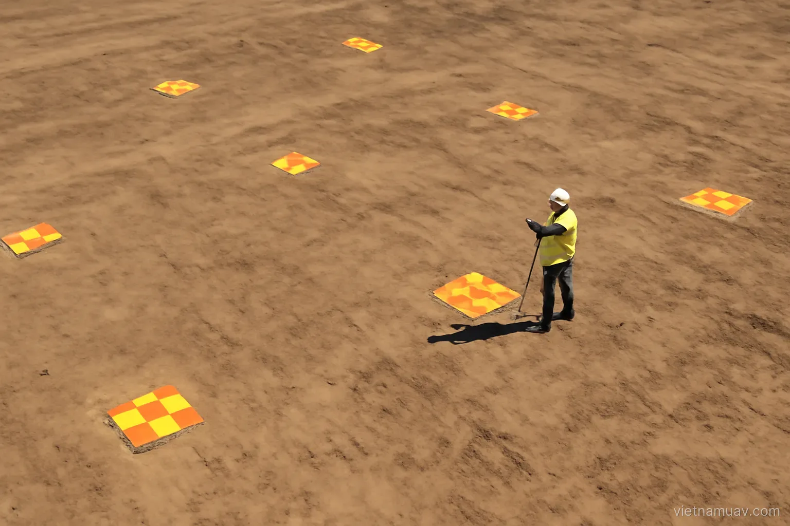
The main benefit. Reducing or eliminating the need for ground control points, which saves substantial field time.
Still keep check points. A handful, to verify actual accuracy rather than assume it.
Base station required. Either your own on site, or a reference network where coverage exists.
Cost. Aircraft with precise positioning cost meaningfully more, repaid through saved field time if you fly often.
Do the arithmetic. Compare the price premium against the time spent placing and surveying control points, multiplied by expected annual sorties.
Sensors and lenses
Integrated camera. On consumer and prosumer platforms. Adequate for moderate-accuracy survey and for a great deal of real work.
Dedicated survey camera. Larger sensor, better optics, sharper images at the same altitude — which means flying higher for the same resolution.
Mechanical shutter. Important for survey. Electronic shutters distort images while the aircraft moves, degrading accuracy.
This detail is skipped more often than any other. And it affects the deliverable directly.
Fixed focal length. Zoom lenses invalidate calibration whenever anyone touches them. Survey requires fixed focal length, secured.
Multispectral. Only with a defined application. It is expensive and needs its own calibration workflow.
Thermal. For infrastructure inspection, search work and some agricultural applications.
Laser scanning. Very expensive. Its unique advantage is penetrating light canopy to reach the ground, which imagery cannot do. Justify it against that specific need.
Software and computing
Flight planning. Designs flight lines from resolution and overlap requirements. Capable free options exist.
Terrain following. Important on sloping ground, keeping altitude above ground consistent so resolution is consistent.
Processing software. A substantial investment. Commercial and open options both exist.
Selection criteria. Output quality, processing speed, export formats, and how much control you have over parameters.
Computing requirements. Survey processing is heavy. Memory matters most; insufficient memory makes everything an order of magnitude slower. This is a hidden cost.
Cloud processing. An alternative to buying a workstation, billed per job.
Sector-specific analysis tools. Volumes, change detection, agronomic analysis. Depends on your market.
Training time. Powerful software nobody uses fully is wasted money. Learning time is a genuine cost.
Building capability in stages
Stage one. Prosumer aircraft with a good camera, free planning software, entry-level processing. Enough to take work and learn the trade.
Stage two. Survey-grade equipment for control points, better processing software, a proper workstation. Accuracy improves and higher-specification work becomes accessible.
Stage three. Aircraft with precise positioning. Substantial field-time savings.
Stage four. Specialist sensors for whichever sector you have committed to.
The principle. Invest once the work demands it. Buying ahead of demand ties up capital in equipment that depreciates quickly.
Do not neglect process and training. Two operators with identical equipment produce very different results, and the difference is people and procedure.
Recurring costs. Insurance, permits, batteries, replacement parts. Build them into pricing.
Replacement provision. Aircraft have a service life, batteries have a shorter one, and accidents happen. Provisioning for that is part of the business plan.
Frequently asked questions
When is a fixed-wing platform worth considering?
When you regularly survey hundreds of hectares and have launch and recovery space. Complex terrain or any requirement to fly close and slowly means multirotor.
Which camera detail is most often overlooked?
Mechanical shutter. Electronic shutters distort images while the aircraft is moving, which degrades survey accuracy in a way that is hard to diagnose afterwards.
What is the main benefit of precise onboard positioning?
It reduces or removes the need for ground control points, saving substantial field time. Keep a few check points regardless to verify actual accuracy.
Which hardware specification matters most for processing?
Memory. Insufficient memory forces the system onto disk and makes processing an order of magnitude slower regardless of processor speed.
More in Agricultural UAV and Flight planning.