Anyone can fly in good conditions. Search work and field survey routinely happen in poor ones, and that is where preparation earns its keep.
Wind
Know the aircraft's limit. The published figure describes stable flight, not a safety boundary.
Wind aloft is stronger. Measuring at ground level and then climbing into considerably stronger air is a routine surprise.
Gusts are worse than steady wind. The aircraft cannot compensate quickly enough.
Terrain generates local wind. Behind hills, between buildings, at valley mouths. Hard to predict from any forecast.
Fly out into wind. So the return leg is downwind and cheaper. The reverse can leave you without enough battery to get home.
Watch consumption closely. Wind increases power draw substantially beyond planning assumptions.
Signs the aircraft is struggling. Marked tilt, drifting against commanded position, warnings on screen. Return as soon as you see them.
Landing is harder than launching. Choose a sheltered spot and descend decisively rather than hovering.
Night operations
Regulation. Night flight carries specific requirements in most jurisdictions. Check before planning.
Lighting. Required so the aircraft is visible and its orientation is readable.
Loss of visual reference. Without seeing the aircraft you cannot judge its position or heading. Everything depends on the screen.
Obstacles are invisible. Trees, wires, poles. This is the largest risk in night flying.
Survey by day first. Mandatory before any night operation in that area. Record obstacle positions.
Fly higher. Above every known obstacle with a generous margin.
Obstacle sensors are less effective. Vision-based systems do not work in darkness.
Mark the landing point. With lighting, so the aircraft returns to the intended place rather than approximately there.
Cold batteries. Deliver less capacity. Keep them warm before flight.
Complex terrain
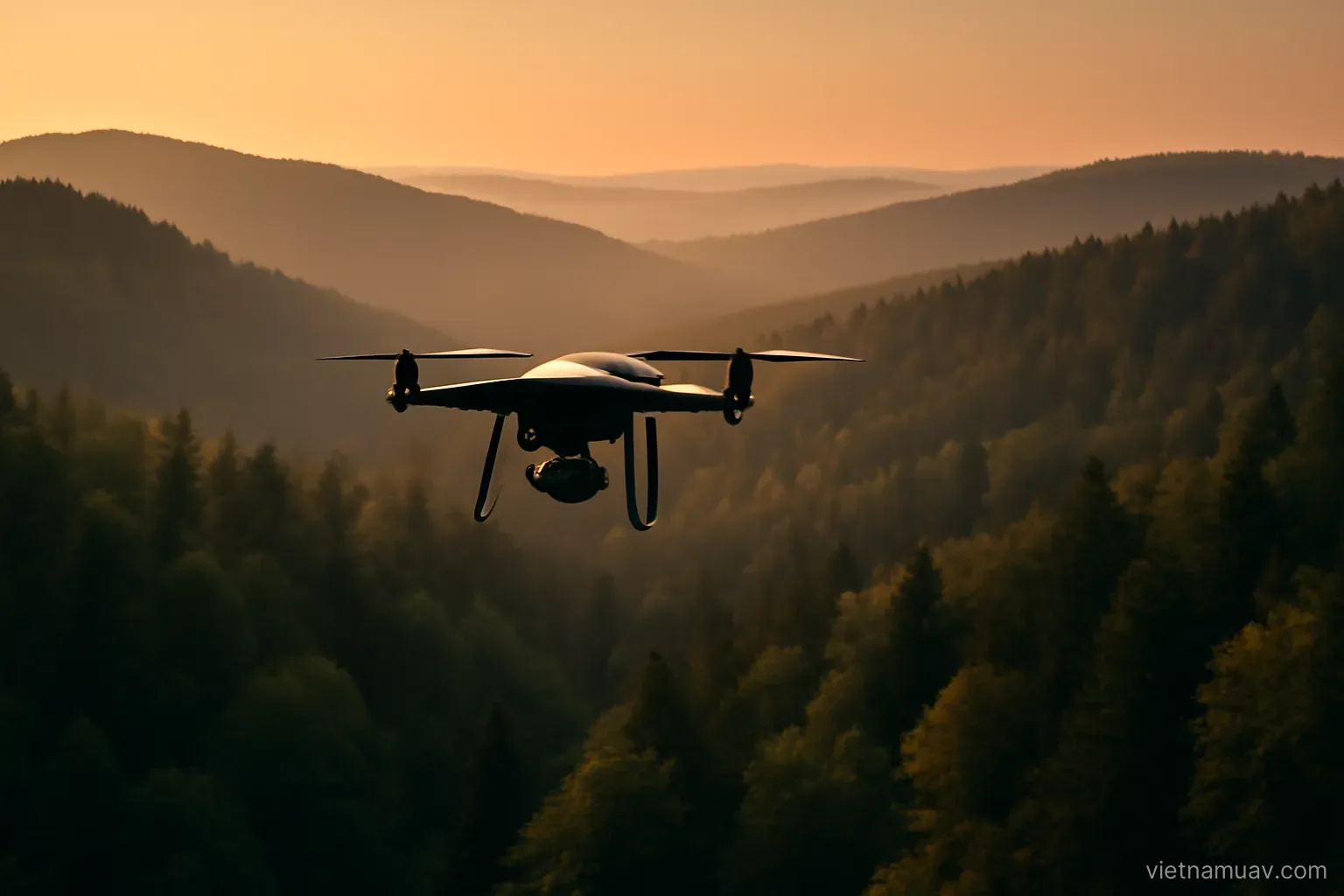
Hills and mountains. Height above ground changes constantly. Flying at a fixed altitude above the launch point can fly you into a hillside.
Terrain following. If the aircraft supports it and elevation data is available.
Otherwise fly above the highest point. With margin.
Loss of line of sight. The aircraft disappears behind a ridge or trees, and the control link often goes with it.
Valleys and gorges. Signal blocked from several directions. Choose a high, open operating position.
Wooded areas. Landing sites are scarce. Plan for it.
Near cliffs and structures. Turbulence and degraded satellite positioning.
Over water. Reflective surfaces confuse downward-facing height sensors, and the aircraft may misjudge its altitude.
Plan with elevation data. Check terrain height along the intended route before flying it.
Link loss and control failure
Causes. Distance, obstruction, interference, or an antenna pointed the wrong way.
Automatic behaviour. Most aircraft return to the launch point. Check how this is configured and at what altitude.
Set the return altitude properly. Above every obstacle between the flight area and the launch point. This setting is critical and is often left at default.
The home point must be correct. If it was recorded badly the aircraft returns to the wrong place.
Antenna orientation. Facing the aircraft, not shielded by your own body. Many link losses come down to this alone.
Loss of satellite positioning. The aircraft holds altitude but drifts with the wind. Manual flight is the only recovery.
Practise manual flight. Beforehand, not during the emergency.
If the aircraft is lost. Record last known position, heading and altitude. Onboard logs often help locate it.
Preparation for a difficult flight
Survey the area. By satellite imagery and by eye. Obstacles, terrain, launch and recovery points, operating position.
Check weather by the hour. Wind, rain probability, visibility — for the intended flight window, not the day.
Check airspace restrictions. And any nearby aviation activity.
Carry more batteries than calculated. Difficult conditions consume more.
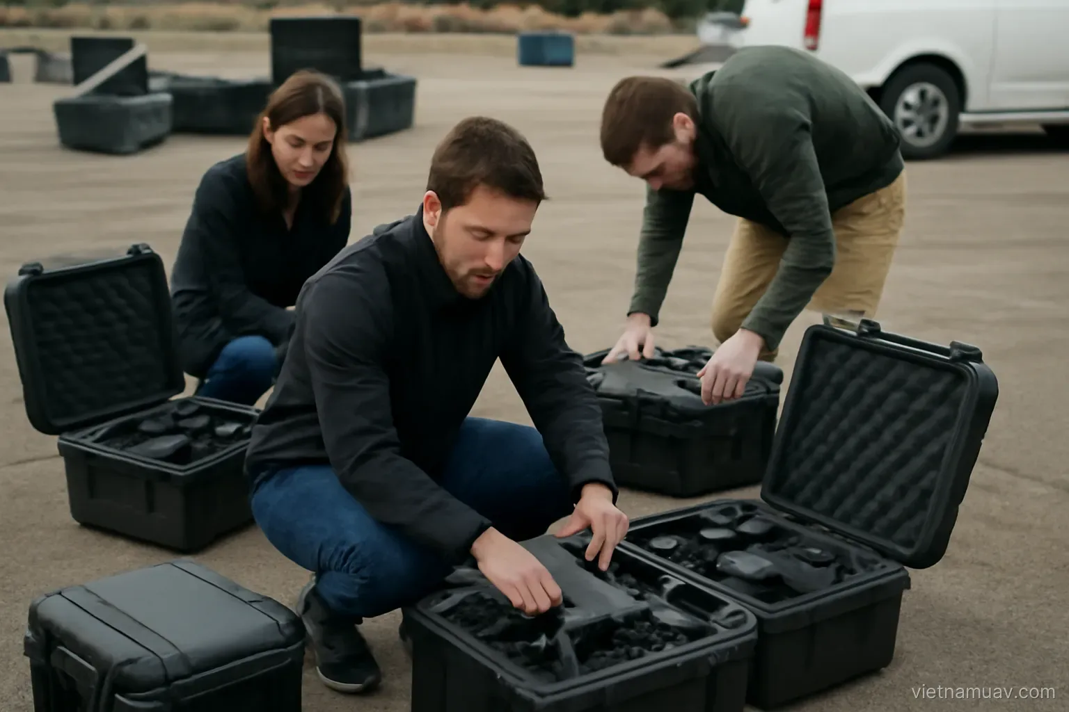
Inspect the aircraft more carefully than usual. Propellers, fasteners, sensors, compass calibration.
Contingency plan. For link loss, rising wind, and forced landing.
Bring a second person. In difficult conditions this is effectively mandatory.
Set a stop threshold in advance. Which conditions mean no flight. Decide it before arriving, because on site there is pressure to press on.
Be prepared not to fly. The hardest decision and often the correct one. No dataset is worth losing an aircraft or causing an accident.
Frequently asked questions
Why is ground-level wind measurement insufficient?
Because wind aloft is considerably stronger, and terrain generates local turbulence behind hills, between buildings and at valley mouths that no forecast captures.
Should you fly out into wind or downwind?
Out into wind, so the return leg is downwind and consumes less. Doing the reverse can leave insufficient battery to get home.
What is the largest risk in night flying?
Invisible obstacles — trees, wires and poles. A daytime survey of the area beforehand is mandatory, and flying well above known obstacles is the only reliable mitigation.
Which setting is most often left at default and matters most?
The return-to-home altitude. It must clear every obstacle between the flight area and the launch point, otherwise an automatic return flies into something.
More in Agricultural UAV and Flight planning.